Waterworks · 20th Century
Ehemaliges Wasserwerk Ollmuth

Description
This description is only available in German.
Translate with Google opens this page in Google Translate (external service)
Classification
- Subject area
- Architectural and Art Monuments
- Category
- Water Supply
- Object type
- Waterworks
- Date
- 1926
- Period
- 20th Century
Location
- District
- Trier-Saarburg
- Collective municipality
- Ruwer
- Municipality
- Ollmuth
- Field name
- In den Freifeldern
- Coordinates
- WGS 84: 49.674325, 6.704356 (Position: exact) WGS 84: 49° 40′ 27.6″ N, 6° 42′ 15.7″ E UTM 32 (ETRS89): E 334376 · N 5504952
Sources
Data sources
- [1] Michael Grün, Trier, 2021.
- [2] Landschaft im Wandel (https://geo4.service24.rlp.de/client/lf/lawa/#zoom=16&lat=49.67393&…), abgerufen am 31.05.2021.
On the internet
Picture credits
- Picture 1: © Michael Grün, Trier, 2021.
Last edited: 31 May 2021 Object ID: 50538
https://kulturdb.de/en/objekt/50538-ollmuth-ehemaliges-wasserwerk-ollmuth
Nearby
The nearest objects
No picture
170 m
Field Names
Hinter dem langen Bungert
No picture
380 m
Field Names
Im langen Bungert
No picture
410 m
Field Names
Kirchenkäulchen
No picture
630 m
Field Names
Auf der Acht
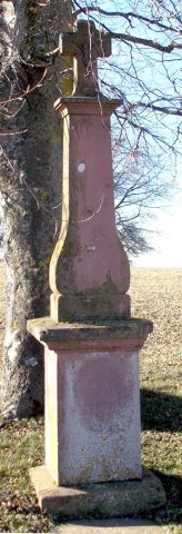 700 m
Wayside Shrines and Stations of the Cross
Lindenkreuz
No picture
700 m
Field Names
Bei der Sandkaul
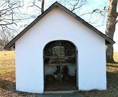 700 m
Chapels
Thomaskapelle
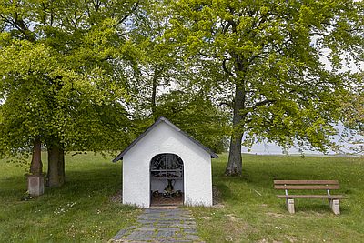 700 m
Viewpoints