Ferries · 20th Century
Ehemalige Fähre Sankt-Barbara-Ufer

Classification
- Subject area
- Architectural and Art Monuments
- Category
- Economy, Trade and Transport
- Object type
- Ferries
- Date
- 1927
- Period
- 20th Century
Location
- District
- City of Trier
- Collective municipality
- Verbandsfreie Gemeinde Trier
- Town
- Trier
- Locality / location
- Trier-West/Pallien
- Street
- Sankt-Barbara-Ufer
- Field name
- [Mosel]
- Coordinates
- WGS 84: 49.744835, 6.625878 (Position: exact) WGS 84: 49° 44′ 41.4″ N, 6° 37′ 33.2″ E UTM 32 (ETRS89): E 328963 · N 5512966
Sources
Data sources
- Stadtplan der Stadt Trier mit Vororten. 1927
On the internet
de.wikipedia.org/wiki/Trier-West/Pallien
Picture credits
- Picture 1: Stadtplan der Stadt Trier mit Vororten.1927 (Aussschnitt)
Last edited: 31 Dec 2008 Object ID: 16769
https://kulturdb.de/en/objekt/16769-trier-west-pallien-ehemalige-faehre-sankt-barbara-ufer
Nearby
The nearest objects
No picture
140 m
Engineering Structures and Industrial Sites
Ehemalige Eisengießerei August Feuerstein
No picture
190 m
Town Fortifications
Ehemaliger Turm der römischen Stadtmauer
No picture
190 m
Deserted Settlements
Wüstung Biez
 200 m
Vineyard Sites
Schalbede
210 m
Vineyard Sites
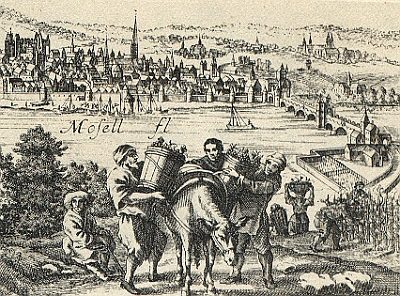
Weinbau im Mittelalter
No picture
220 m
Town Fortifications
Ehemaliger Turm der römischen Stadtmauer
No picture
250 m
Ferries
Ehemalige Fähre
No picture
270 m
Town Fortifications