Wayside Shrines and Stations of the Cross · Renaissance
Sogenanntes Weißes Kreuz
- Listed monument


Description
This description is only available in German.
Translate with Google opens this page in Google Translate (external service)
Classification
- Subject area
- Architectural and Art Monuments
- Category
- Religious Buildings
- Object type
- Wayside Shrines and Stations of the Cross
- Date
- 1629
- Period
- Renaissance
Location
- District
- Vulkaneifel
- Collective municipality
- Daun
- Municipality
- Wallenborn
- Field name
- In Harscheid
- Coordinates
- WGS 84: 50.165137, 6.726263 (Position: exact) WGS 84: 50° 09′ 54.5″ N, 6° 43′ 34.5″ E UTM 32 (ETRS89): E 337614 · N 5559466
Sources
Data sources
- [1] Denkmalliste der Generaldirektion Kulturelles Erbe, Rheinland-Pfalz; 2009
- [2] Friedbert Wißkirchen, Daun, 2009.
On the internet
Picture credits
Last edited: 7 Jul 2009 Object ID: 17263
https://kulturdb.de/en/objekt/17263-wallenborn-sogenanntes-weisses-kreuz
Nearby
The nearest objects
No picture
410 m
Vineyard Sites
Am Rückelberg bei Wangertsfeld
No picture
450 m
Field Names
Hundswinkler Wiesen
No picture
520 m
Field Names
Im Dellkert
No picture
560 m
Vineyard Sites
Wangertsfeld
No picture
700 m
Field Names
Heinenpesch
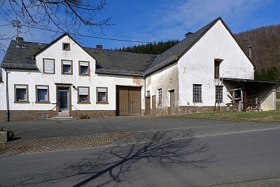 850 m
Extraction and Processing of Raw Materials
Alte Schmiede mit Notstall
No picture
970 m
Field Names
Auf dem Runnenkolwerrech
No picture
1.0 km
Field Names