Wayside Shrines and Stations of the Cross · Historicism / Art Nouveau
Kreuz auf dem Friedhof


Classification
- Subject area
- Architectural and Art Monuments
- Category
- Religious Buildings
- Object type
- Wayside Shrines and Stations of the Cross
- Date
- 1880
Location
- District
- Vulkaneifel
- Collective municipality
- Daun
- Municipality
- Weidenbach
- Field name
- Kahlenbruch
- Coordinates
- WGS 84: 50.127814, 6.715264 (Position: exact) WGS 84: 50° 07′ 40.1″ N, 6° 42′ 55.0″ E UTM 32 (ETRS89): E 336702 · N 5555341
Sources
Data sources
- [1] Uwe Widera, 54550 Daun, 2009
On the internet
Picture credits
Last edited: 15 Jan 2010 Object ID: 17307
https://kulturdb.de/en/objekt/17307-weidenbach-kreuz-auf-dem-friedhof
Nearby
The nearest objects
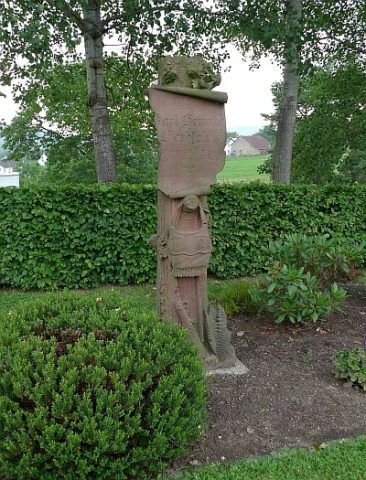 30 m
Wayside Shrines and Stations of the Cross
Försterkreuz auf dem Friedhof
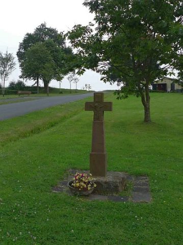 70 m
Wayside Shrines and Stations of the Cross
Schaftkreuz
No picture
80 m
Field Names
In der Pfaffenwies
No picture
220 m
Field Names
Auf Buchholz
No picture
270 m
Wayside Shrines and Stations of the Cross
Wegekreuz
No picture
290 m
Wayside Shrines and Stations of the Cross
Wegekreuz
No picture
310 m
Field Names
Pfaffenwies
No picture
360 m
Farmhouses and Farm Buildings