Extraction and Processing of Raw Materials · Undated
Ehemaliger Gemeindesteinbruch


Description
This description is only available in German.
Translate with Google opens this page in Google Translate (external service)
Südwestlich der Ortslage. [1]
Classification
- Subject area
- Architectural and Art Monuments
- Category
- Economy, Trade and Transport
- Object type
- Extraction and Processing of Raw Materials
- Date
- Undatiert
- Period
- Undated
Location
- District
- Vulkaneifel
- Collective municipality
- Gerolstein
- Municipality
- Salm
- Field name
- In der Gemeinde
- Coordinates
- WGS 84: 50.143340, 6.676451 (Position: exact) WGS 84: 50° 08′ 36.0″ N, 6° 40′ 35.2″ E UTM 32 (ETRS89): E 333982 · N 5557153
Sources
Data sources
- [1] Uwe Widera, 54550 Daun, 2009.
On the internet
Picture credits
Last edited: 8 Aug 2010 Object ID: 17326
https://kulturdb.de/en/objekt/17326-salm-ehemaliger-gemeindesteinbruch
Nearby
The nearest objects
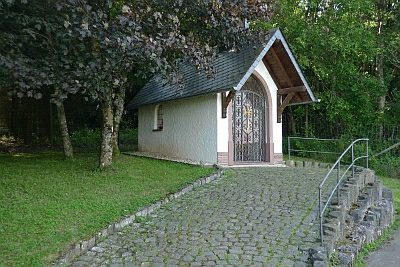 360 m
Chapels
Maria-Hilf-Kapelle
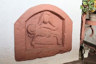 360 m
Chapels
Maria-Hilf-Kapelle - Relief
No picture
400 m
Field Names
In Oberroth am Berg
No picture
420 m
Field Names
In Oberroth bei Hüllscheid
No picture
590 m
Field Names
In Oberroth
No picture
640 m
Field Names
Am Taufenseifen
No picture
730 m
Fountains and Wells
Hirschborn
No picture
750 m
Field Names