Settlements · Celtic / Roman Period
Römische Siedlung

Description
This description is only available in German.
Translate with Google opens this page in Google Translate (external service)
Römische Funde belegen Einzelgehöfte zur Römerzeit.
Classification
- Subject area
- Archaeological Monuments
- Category
- Settlements
- Object type
- Settlements
- Date
- Circa 500 vor Chr. bis circa 500 nach Chr.
- Period
- Celtic / Roman Period
Location
- District
- Trier-Saarburg
- Collective municipality
- Ruwer
- Municipality
- Gusterath
- Field name
- Ortslage
- Coordinates
- WGS 84: 49.698567, 6.716007 (Position: within the village) WGS 84: 49° 41′ 54.8″ N, 6° 42′ 57.6″ E UTM 32 (ETRS89): E 335299 · N 5507621
Sources
Data sources
- Homepage der Verbandsgemeinde Ruwer
On the internet
Picture credits
- Picture 1: © Lothar Monshausen, Fotostream http://www.flickr.com/photos/lomo56/tags/meteorite/
Last edited: 7 Oct 2003 Object ID: 1745
https://kulturdb.de/en/objekt/1745-gusterath-roemische-siedlung
Nearby
The nearest objects
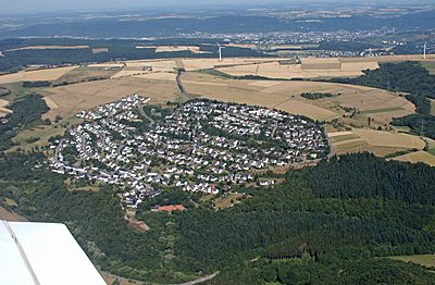 less than 10 m
Place Names / Local History
Erste Erwähnung als Gozprethrode
No picture
less than 10 m
Jewish History
Jüdische Geschichte
 40 m
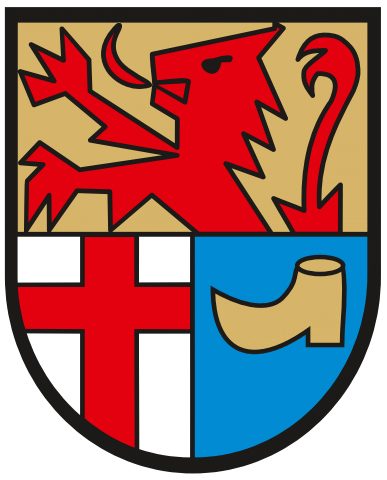
Coats of Arms
Wappen der Gemeinde Gusterath
 70 m
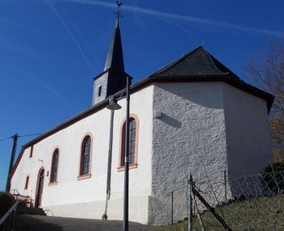
Chapels
Sankt Martin
 130 m
Museums
Heimathaus mit Dorfmuseum
140 m
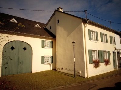
Farmhouses and Farm Buildings
Quereinhaus
 160 m
Wayside Shrine Houses
Heiligenhäuschen
No picture
260 m
Field Names