Wayside Shrine Houses · Undated
Heiligenhäuschen


Classification
- Subject area
- Architectural and Art Monuments
- Category
- Religious Buildings
- Object type
- Wayside Shrine Houses
- Date
- Undatiert
- Period
- Undated
Location
- District
- Trier-Saarburg
- Collective municipality
- Ruwer
- Municipality
- Gusterath
- Street
- Triererstraße
- Field name
- Ortslage
- Coordinates
- WGS 84: 49.699517, 6.714374 (Position: exact) WGS 84: 49° 41′ 58.3″ N, 6° 42′ 51.7″ E UTM 32 (ETRS89): E 335184 · N 5507730
Sources
Data sources
- [1] Michael Grün, Trier, 2019.
On the internet
Picture credits
Last edited: 14 Mar 2019 Object ID: 26744
https://kulturdb.de/en/objekt/26744-gusterath-heiligenhaeuschen
Nearby
The nearest objects
 130 m
Coats of Arms
Wappen der Gemeinde Gusterath
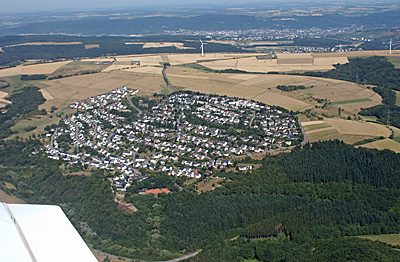 160 m
Place Names / Local History
Erste Erwähnung als Gozprethrode
 160 m
Settlements
Römische Siedlung
No picture
160 m
Jewish History
Jüdische Geschichte
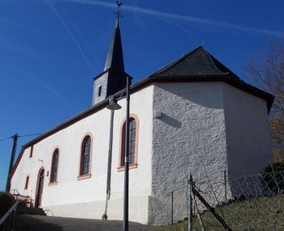 220 m
Chapels
Sankt Martin
No picture
260 m
Catholic Churches
Sankt Martin
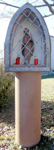 260 m
Wayside Shrines and Stations of the Cross
Bildstock
No picture
320 m
Field Names