Settlements · Celtic / Roman Period
Römisches Lager
- Listed monument

Description
This description is only available in German.
Translate with Google opens this page in Google Translate (external service)
Kulturdenkmal. In der Nähe des Ortes wurden römische Siedlungsreste einer Wallanlage gefunden. [1]
Classification
- Subject area
- Archaeological Monuments
- Category
- Settlements
- Object type
- Settlements
- Date
- Circa 500 vor Chr. bis circa 500 nach Chr.
- Period
- Celtic / Roman Period
Location
- District
- Trier-Saarburg
- Collective municipality
- Ruwer
- Municipality
- Holzerath
- Field name
- Birkertsheck
- Coordinates
- WGS 84: 49.683664, 6.778035 (Position: exact) WGS 84: 49° 41′ 01.2″ N, 6° 46′ 40.9″ E UTM 32 (ETRS89): E 339722 · N 5505830
Sources
Data sources
- [1] Homepage der Gemeinde Holzerath
- [2] Digitale TK5. Landesamt für Vermessung und Geobasisinformation Rheinland-Pfalz. 2001 (ISBN 3-89637-345-5)
On the internet
Picture credits
- Picture 1: Luftbild: H-S-W. http://home.t-online.de/home/vgruwer/
Last edited: 20 Dec 2017 Object ID: 1754
https://kulturdb.de/en/objekt/1754-holzerath-roemisches-lager
Nearby
The nearest objects
Field Names
Bei der Lehmkaul
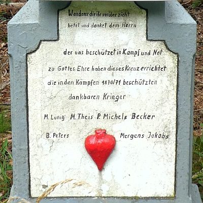 410 m
Wayside Shrines and Stations of the Cross
Neukreuz
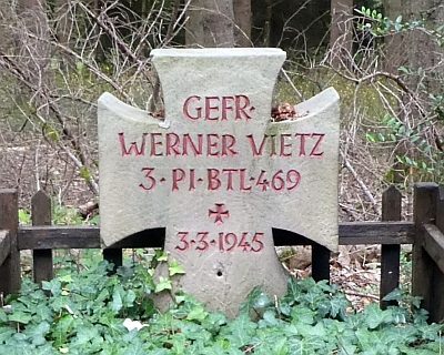 410 m
Burial Sites
Soldatengrab Werner Vietz
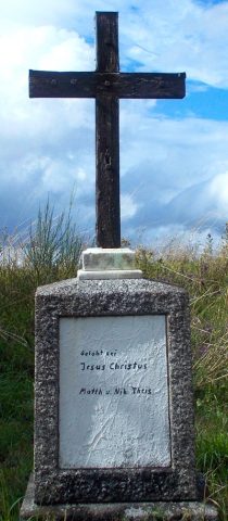 430 m
Wayside Shrines and Stations of the Cross
Schreinerkreuz
Field Names
Müllersrödchen
Wayside Shrines and Stations of the Cross
Hölzernes Kreuz
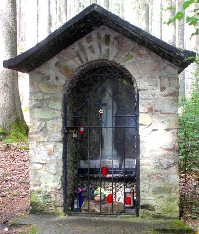 550 m
Chapels
Waldkapelle
Field Names