Wayside Shrines and Stations of the Cross · Historicism / Art Nouveau
Schreinerkreuz


Description
This description is only available in German.
Translate with Google opens this page in Google Translate (external service)
Classification
- Subject area
- Architectural and Art Monuments
- Category
- Religious Buildings
- Object type
- Wayside Shrines and Stations of the Cross
- Date
- Circa 1780 bis 1850
Location
- District
- Trier-Saarburg
- Collective municipality
- Ruwer
- Municipality
- Holzerath
- Field name
- Im Birkert
- Coordinates
- WGS 84: 49.683260, 6.772130 (Position: exact) WGS 84: 49° 40′ 59.7″ N, 6° 46′ 19.7″ E UTM 32 (ETRS89): E 339295 · N 5505798
Sources
Data sources
- [1] 750 Jahre Holzerath - Jubiläumsbuch. https://holzerath.de/wp-content/uploads/2021/06/HOLZ_JUBILA%CC%88UM…
- [2] Michael Grün, Trier, 2019.
On the internet
holzerath.de/wp-content/uploads/2021/06/HOLZ_JUBILA%CC%88UMSBUCH_LA17.pdf
Picture credits
Last edited: 14 Mar 2023 Object ID: 48437
https://kulturdb.de/en/objekt/48437-holzerath-schreinerkreuz
Nearby
The nearest objects
No picture
250 m
Field Names
Bei Weichselborn
No picture
370 m
Field Names
Bei Hesselborn
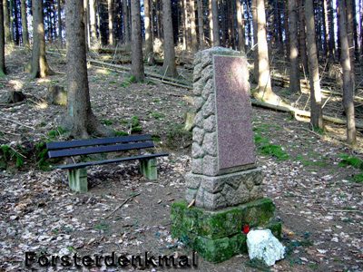 380 m
Monuments
Försterdenkmal
No picture
400 m
Field Names
Unter dem Borntriesch
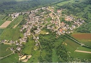 430 m
Settlements
Römisches Lager
No picture
540 m
Field Names
Gegen dem Borntriesch
No picture
690 m
Field Names
Beim Spitzenborn
No picture
700 m
Field Names