Place Names / Local History · Early Middle Ages / Romanesque
Ortsgeschichte Herl

Description
This description is only available in German.
Translate with Google opens this page in Google Translate (external service)
1095 gehört Erle der Abtei Echternach.
Classification
- Subject area
- History
- Category
- Place Names / Local History
- Date
- 1095
Location
- District
- Trier-Saarburg
- Collective municipality
- Ruwer
- Municipality
- Herl
- Field name
- Ortslage
- Coordinates
- WGS 84: 49.730426, 6.821018 (Position: within the village) WGS 84: 49° 43′ 49.5″ N, 6° 49′ 15.7″ E UTM 32 (ETRS89): E 342973 · N 5510938
Sources
Data sources
- Homepage der Verbandsgemeinde Ruwer
On the internet
Picture credits
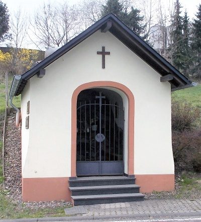
- Picture 1: Prankster im Wikipedia-Eintrag zur Gemeinde Herl
Last edited: 11 Nov 2008 Object ID: 1756
https://kulturdb.de/en/objekt/1756-herl-ortsgeschichte-herl
Nearby
The nearest objects
No picture
less than 10 m
Markers and Monuments
Römischer Krieger
No picture
60 m
Catholic Churches
Sankt Quirinus
No picture
130 m
Field Names
Auf Kopfbungert
No picture
190 m
Field Names
In den Werkstückern
No picture
200 m
Field Names
Auf der Bornheck
No picture
230 m
Fossils
Fundstellen tierischer Versteinerungen
No picture
240 m
Field Names
Beim Kopfbungert
 320 m
Chapels