Markers and Monuments · Celtic / Roman Period
Römischer Krieger


© GeoBasis-DE / LVermGeoRP, dl-de/by-2-0
There is no picture of this object yet. Do you have a photo that you would like to make available to the Kulturdatenbank? Submit a picture
Description
This description is only available in German.
Translate with Google opens this page in Google Translate (external service)
Am ehemaligen Schulgebäude findet sich eine Darstellung des römischen Kriegers Quirinus.
Classification
- Subject area
- Architectural and Art Monuments
- Category
- Markers and Monuments
- Date
- Circa 500 vor Chr. bis circa 500 nach Chr.
- Period
- Celtic / Roman Period
Location
- District
- Trier-Saarburg
- Collective municipality
- Ruwer
- Municipality
- Herl
- Field name
- Ortslage
- Coordinates
- WGS 84: 49.730426, 6.821018 (Position: within the village) WGS 84: 49° 43′ 49.5″ N, 6° 49′ 15.7″ E UTM 32 (ETRS89): E 342973 · N 5510938
Sources
Data sources
- Homepage der Verbandsgemeinde Ruwer
On the internet
Last edited: 7 Oct 2003 Object ID: 1758
https://kulturdb.de/en/objekt/1758-herl-roemischer-krieger
Nearby
The nearest objects
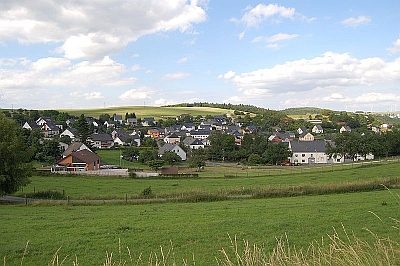 less than 10 m
Place Names / Local History
Ortsgeschichte Herl
Catholic Churches
Sankt Quirinus
Field Names
Auf Kopfbungert
Field Names
In den Werkstückern
Field Names
Auf der Bornheck
Fossils
Fundstellen tierischer Versteinerungen
Field Names
Beim Kopfbungert
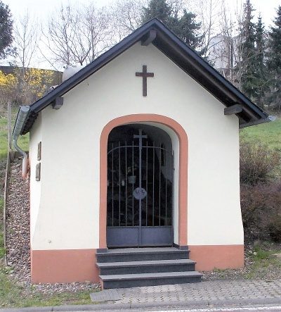 320 m
Chapels