Mills · Undated
Baptistmühle am Serriger Bach


© GeoBasis-DE / LVermGeoRP, dl-de/by-2-0
There is no picture of this object yet. Do you have a photo that you would like to make available to the Kulturdatenbank? Submit a picture
Description
This description is only available in German.
Translate with Google opens this page in Google Translate (external service)
[...] Nördlich der geschlossenen Ortslage befand sich im frühen 19. Jahrhundert, eine Mühle (Baptistmühle). [...]
Classification
- Subject area
- Architectural and Art Monuments
- Object type
- Mills
- Date
- Undatiert
- Period
- Undated
Location
- District
- Trier-Saarburg
- Collective municipality
- Saarburg-Kell
- Municipality
- Serrig
- Street
- Bahnhofstraße 6
- Field name
- Ortslage
- Coordinates
- WGS 84: 49.578043, 6.568196 (Position: exact) WGS 84: 49° 34′ 41.0″ N, 6° 34′ 05.5″ E UTM 32 (ETRS89): E 324207 · N 5494558
Sources
Data sources
On the internet
Last edited: 16 Oct 2009 Object ID: 17583
https://kulturdb.de/en/objekt/17583-serrig-baptistmuehle-am-serriger-bach
Nearby
The nearest objects
 90 m
Field Names
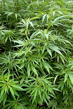
Die Hanfstücker bei der Baptistmühl
 160 m
Railways
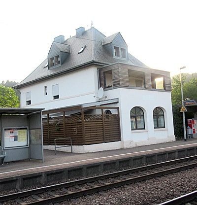
Bahnhof Serrig
Field Names
Die Werkstücker im Nepol
 200 m
Wayside Shrines and Stations of the Cross
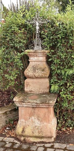
Altarkreuz
Fortresses and Bunkers
Westwall - Schartenturm
 240 m
Oaks
Stieleiche am Friedhof
Field Names
Aufm Dörmorgen
 260 m
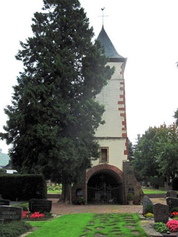
Chapels