Burial Sites · Renaissance
Grabstein


Description
This description is only available in German.
Translate with Google opens this page in Google Translate (external service)
Classification
- Subject area
- Architectural and Art Monuments
- Category
- Religious Buildings
- Object type
- Burial Sites
- Date
- 1607
- Period
- Renaissance
Location
- District
- Vulkaneifel
- Town
- Gerolstein
- Locality / location
- Michelbach
- Field name
- Kurzfeldchen
- Coordinates
- WGS 84: 50.184852, 6.664814 (Position: exact) WGS 84: 50° 11′ 05.5″ N, 6° 39′ 53.3″ E UTM 32 (ETRS89): E 333295 · N 5561794
Sources
Data sources
- [1] Uwe Widera, 54550 Daun, 2009.
On the internet
Picture credits
Last edited: 17 Oct 2009 Object ID: 17592
https://kulturdb.de/en/objekt/17592-gerolstein-grabstein
Nearby
The nearest objects
No picture
170 m
Field Names
Im Murrenpesch
No picture
170 m
Field Names
In Nellenbornpesch
No picture
200 m
Field Names
Auf Trombersrech
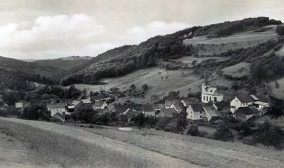 220 m
Place Names / Local History
Ortsgeschichte Michelbach
No picture
240 m
Field Names
Auf dem Mühlenrech
No picture
260 m
Town Houses and Commercial Buildings
Ehemalige Vikarie
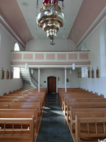 310 m
Chapels
Kapelle des heiligen Stefanus - Ausstattung
No picture
350 m
Field Names