Wayside Shrines and Stations of the Cross · Renaissance
Kreuz am Jagdhaus Hubertusgrund


Classification
- Subject area
- Architectural and Art Monuments
- Category
- Religious Buildings
- Object type
- Wayside Shrines and Stations of the Cross
- Date
- 1673
- Period
- Renaissance
Location
- District
- Vulkaneifel
- Collective municipality
- Gerolstein
- Municipality
- Densborn
- Locality / location
- Jagdhaus Hubertusgrund
- Field name
- Im Salter
- Coordinates
- WGS 84: 50.124814, 6.631244 (Position: exact) WGS 84: 50° 07′ 29.3″ N, 6° 37′ 52.5″ E UTM 32 (ETRS89): E 330687 · N 5555195
Sources
Data sources
- [1] Uwe Widera, 54550 Daun, 2009.
On the internet
Picture credits
Last edited: 16 Jan 2010 Object ID: 17655
https://kulturdb.de/en/objekt/17655-densborn-kreuz-am-jagdhaus-hubertusgrund
Nearby
The nearest objects
No picture
360 m
Field Names
Am Kleeborn
No picture
430 m
Field Names
Am Kleeborn
No picture
620 m
Field Names
Eichheld
No picture
830 m
Field Names
Unter der Eichheld
No picture
940 m
Surveying
Trigonometrisches Signal auf Pratscheid
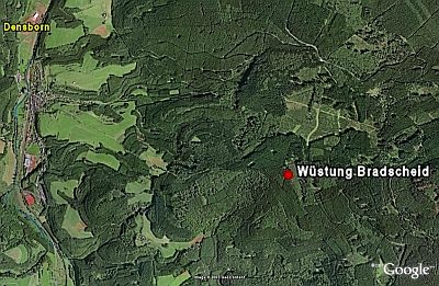 950 m
Deserted Settlements
Wüstung Bradscheid
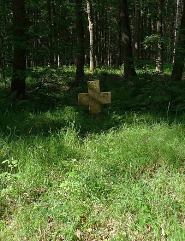 1.2 km
Wayside Shrines and Stations of the Cross
Sogenanntes Franzosenkreuz
No picture
1.2 km
Field Names