Wayside Shrines and Stations of the Cross · 20th Century
Unglückskreuz an der Landesstraße 24


Classification
- Subject area
- Architectural and Art Monuments
- Category
- Religious Buildings
- Object type
- Wayside Shrines and Stations of the Cross
- Date
- Nach 1918
- Period
- 20th Century
Location
- District
- Eifelkreis Bitburg-Prüm
- Collective municipality
- Bitburger Land
- Town
- Kyllburg
- Field name
- Im Klopp
- Coordinates
- WGS 84: 50.051280, 6.607868 (Position: exact) WGS 84: 50° 03′ 04.6″ N, 6° 36′ 28.3″ E UTM 32 (ETRS89): E 328754 · N 5547074
Sources
Data sources
- [1] Uwe Widera, 54550 Daun, 2009.
On the internet
Picture credits
Last edited: 10 Nov 2009 Object ID: 17668
https://kulturdb.de/en/objekt/17668-kyllburg-unglueckskreuz-an-der-landesstrasse-24
Nearby
The nearest objects
No picture
190 m
Fords
Ehemalige Furt durch die Kyll
No picture
310 m
Field Names
Im Klopp
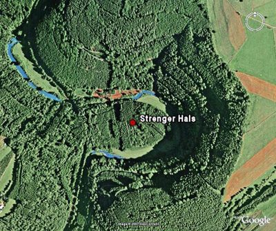 360 m
Natural Landscapes
Strenger Hals
No picture
470 m
Viewpoints
Aussichtspunkt Strenger Hals
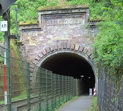 500 m
Railways
Nordportal des Dechentunnels
No picture
530 m
Natural Landscapes
Ehemalige Hopfenanpflanzungen am Rosenberg
No picture
570 m
Fords
Ehemalige Furt durch die Kyll
 590 m
Railways