Natural Landscapes · Undated
Strenger Hals


Description
This description is only available in German.
Translate with Google opens this page in Google Translate (external service)
Umlaufberg über der Kyllschleife. (Am Dechen-Tunnel) 322,5 Meter über Normal-Null. [1]
Classification
- Subject area
- Natural Features
- Category
- Natural Landscapes
- Date
- Undatiert
- Period
- Undated
Location
- District
- Eifelkreis Bitburg-Prüm
- Collective municipality
- Bitburger Land
- Town
- Kyllburg
- Field name
- Zu Strengen
- Coordinates
- WGS 84: 50.048287, 6.606043 (Position: exact) WGS 84: 50° 02′ 53.8″ N, 6° 36′ 21.8″ E UTM 32 (ETRS89): E 328613 · N 5546745
Sources
Data sources
- [1] Wanderkarten im Maßstab 1:50.000 und 1:25.000
On the internet
Picture credits
Last edited: 9 Aug 2007 Object ID: 8381
https://kulturdb.de/en/objekt/8381-kyllburg-strenger-hals
Nearby
The nearest objects
No picture
170 m
Natural Landscapes
Ehemalige Hopfenanpflanzungen am Rosenberg
No picture
190 m
Viewpoints
Aussichtspunkt Strenger Hals
No picture
200 m
Fords
Ehemalige Furt durch die Kyll
No picture
210 m
Fords
Ehemalige Furt durch die Kyll
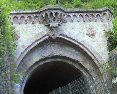 280 m
Railways
Südportal des Dechentunnels
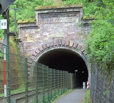 290 m
Railways
Nordportal des Dechentunnels
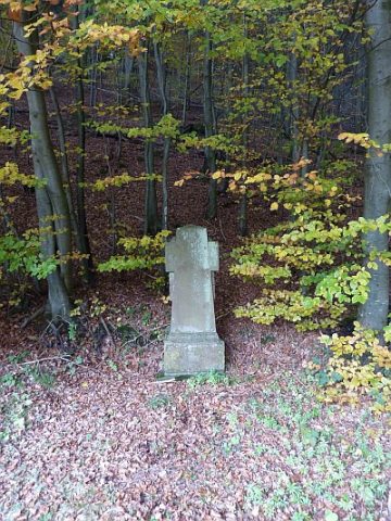 360 m
Wayside Shrines and Stations of the Cross
Unglückskreuz an der Landesstraße 24
No picture
370 m
Field Names