Wayside Shrines and Stations of the Cross · Undated
Antonius-Bildstock


Description
This description is only available in German.
Translate with Google opens this page in Google Translate (external service)
Am Weg zur Heyer-Kapelle. [1]
Classification
- Subject area
- Architectural and Art Monuments
- Category
- Religious Buildings
- Object type
- Wayside Shrines and Stations of the Cross
- Date
- Undatiert
- Period
- Undated
Location
- District
- Vulkaneifel
- Collective municipality
- Kelberg
- Municipality
- Borler
- Locality / location
- Heierhütte
- Field name
- Heyerberg 7. Gewann
- Coordinates
- WGS 84: 50.303746, 6.817267 (Position: exact) WGS 84: 50° 18′ 13.5″ N, 6° 49′ 02.2″ E UTM 32 (ETRS89): E 344565 · N 5574682
Sources
Data sources
- [1] Uwe Widera, 54550 Daun, 2009.
On the internet
Picture credits
Last edited: 9 Jan 2010 Object ID: 17729
https://kulturdb.de/en/objekt/17729-borler-antonius-bildstock
Nearby
The nearest objects
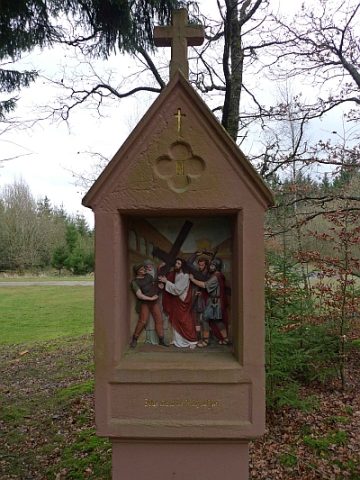 140 m
Wayside Shrines and Stations of the Cross
Kreuzweg um die Heyer-Kapelle - 2. Station
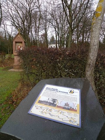 140 m
Wayside Shrines and Stations of the Cross
Kreuzweg um die Heyer-Kapelle - 1. Station
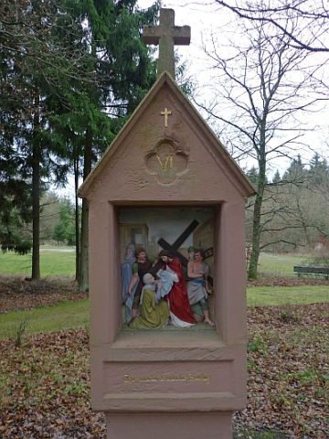 150 m
Wayside Shrines and Stations of the Cross
Kreuzweg um die Heyer-Kapelle - 6. Station
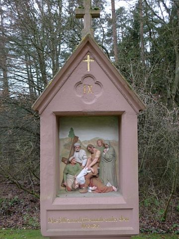 170 m
Wayside Shrines and Stations of the Cross
Kreuzweg um die Heyer-Kapelle - 9. Station
 180 m
Wayside Shrines and Stations of the Cross
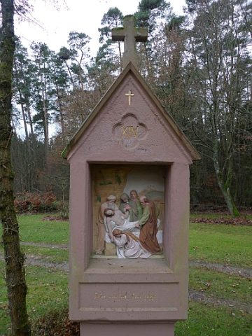
Kreuzweg um die Heyer-Kapelle - 14. Station
 180 m
Wayside Shrines and Stations of the Cross
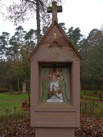
Kreuzweg um die Heyer-Kapelle - 13. Station
 190 m
Pilgrimage Sites
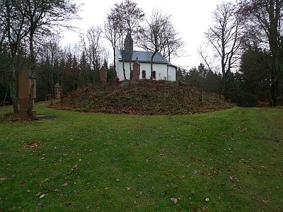
Heyer-Kapelle Sankt Leonhard - Wallfahrtsstätte
 190 m
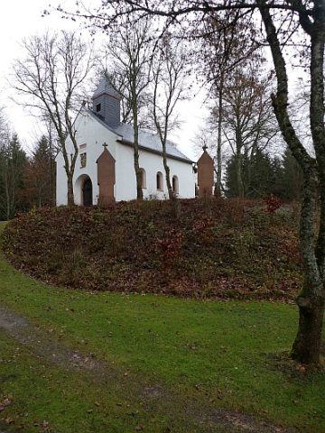
Chapels