War Memorials · 20th Century
Kriegerdenkmal auf dem Friedhof


Classification
- Subject area
- Architectural and Art Monuments
- Category
- Markers and Monuments
- Object type
- War Memorials
- Date
- Nach 1945
- Period
- 20th Century
Location
- District
- Vulkaneifel
- Collective municipality
- Kelberg
- Municipality
- Bongard
- Field name
- Auf Nietegarten
- Coordinates
- WGS 84: 50.293110, 6.840030 (Position: exact) WGS 84: 50° 17′ 35.2″ N, 6° 50′ 24.1″ E UTM 32 (ETRS89): E 346151 · N 5573452
Sources
Data sources
- [1] Uwe Widera, 54550 Daun, 2009.
On the internet
Picture credits
Last edited: 25 Dec 2009 Object ID: 17762
https://kulturdb.de/en/objekt/17762-bongard-kriegerdenkmal-auf-dem-friedhof
Nearby
The nearest objects
No picture
120 m
Field Names
Hommespesch
No picture
140 m
Field Names
Im Lenzenpesch
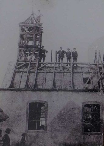 150 m
Chapels
Ehemalige Agatha-Kapelle
No picture
170 m
Burial Mounds
Grabhügelgruppe
No picture
180 m
Farmhouses and Farm Buildings
Fachwerkhaus
No picture
200 m
Place Names / Local History
Ortsgeschichte Bongard
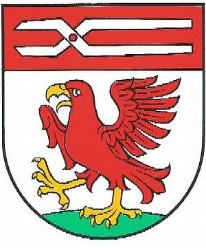 200 m
Coats of Arms
Wappen der Gemeinde Bongard
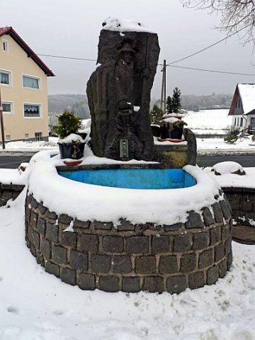 270 m
Fountains and Wells