Wayside Shrines and Stations of the Cross · Historicism / Art Nouveau
Kreuzweg um die Heyer-Kapelle - 7. Station
- Listed monument


© GeoBasis-DE / LVermGeoRP, dl-de/by-2-0
There is no picture of this object yet. Do you have a photo that you would like to make available to the Kulturdatenbank? Submit a picture
Classification
- Subject area
- Architectural and Art Monuments
- Category
- Religious Buildings
- Object type
- Wayside Shrines and Stations of the Cross
- Date
- 1878
Location
- District
- Vulkaneifel
- Collective municipality
- Kelberg
- Municipality
- Borler
- Locality / location
- Heierhütte
- Street
- Am Heyerberg
- Field name
- Heyerberg
- Coordinates
- WGS 84: 50.305355, 6.815976 (Position: exact) WGS 84: 50° 18′ 19.3″ N, 6° 48′ 57.5″ E UTM 32 (ETRS89): E 344478 · N 5574864
Sources
Data sources
- [1] Uwe Widera, 54550 Daun, 2009.
On the internet
Last edited: 25 Dec 2009 Object ID: 17774
https://kulturdb.de/en/objekt/17774-borler-kreuzweg-um-die-heyer-kapelle-7-station
Nearby
The nearest objects
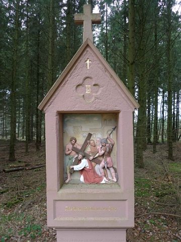 30 m
Wayside Shrines and Stations of the Cross
Kreuzweg um die Heyer-Kapelle - 3. Station
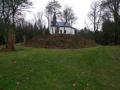 30 m
Pilgrimage Sites
Heyer-Kapelle Sankt Leonhard - Wallfahrtsstätte
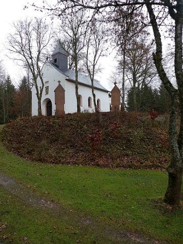 30 m
Chapels
Heyer-Kapelle Sankt Leonhard
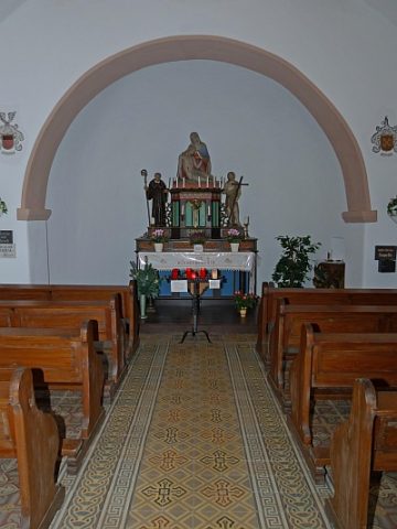 30 m
Altars
Heyer-Kapelle Sankt Leonhard - Altar
 30 m
Wayside Shrines and Stations of the Cross
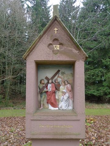
Kreuzweg um die Heyer-Kapelle - 8. Station
 30 m
Wayside Shrines and Stations of the Cross
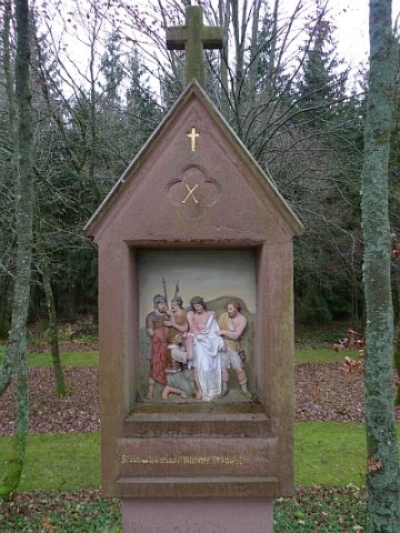
Kreuzweg um die Heyer-Kapelle - 10. Station
 30 m
Wayside Shrines and Stations of the Cross
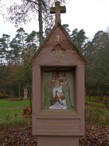
Kreuzweg um die Heyer-Kapelle - 13. Station
 30 m
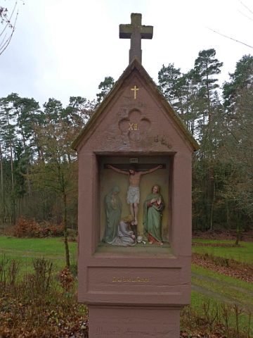
Wayside Shrines and Stations of the Cross