Place Names / Local History · Early Middle Ages / Romanesque
Erste Erwähnung als Munzelvelt


Description
This description is only available in German.
Translate with Google opens this page in Google Translate (external service)
Monzelfeld, im Jahre 634 erstmals erwähnt (Munzelvelt), liegt auf einem Hunsrückplateau circa 450 Meter über Normal-Null. In Monzelfeld gab es vom 15. bis ins 19. Jahrhundert viele Bergwerke, in denen nach Kupfer, Erz und Silber gegraben wurde. Zeugen aus dieser Zeit sind die noch vorhandenen Stollen im Hinterbachtal. Im Ortszentrum erinnert ein sehr schöner Brunnen mit Bergwerksmotiven an diese Zeit.
Classification
- Subject area
- History
- Category
- Place Names / Local History
- Date
- 634
Location
- District
- Bernkastel-Wittlich
- Collective municipality
- Bernkastel-Kues
- Municipality
- Monzelfeld
- Field name
- Ortslage
- Coordinates
- WGS 84: 49.892194, 7.072571 (Position: within the village) WGS 84: 49° 53′ 31.9″ N, 7° 04′ 21.3″ E UTM 32 (ETRS89): E 361563 · N 5528426
Sources
Data sources
- Karl Heinz Huwer, Zum Kreuzbaum 7, 54472 Monzelfeld
On the internet
Picture credits
Last edited: 27 Jun 2010 Object ID: 1816
https://kulturdb.de/en/objekt/1816-monzelfeld-erste-erwaehnung-als-munzelvelt
Nearby
The nearest objects
 130 m
Rectories
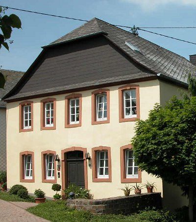
Ehemaliges Pfarrhaus
Wayside Shrines and Stations of the Cross
Wegekreuz
 140 m
Catholic Churches
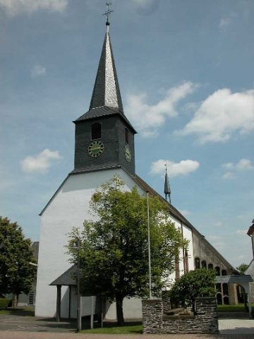
Sankt Stephanus
 250 m
Museums
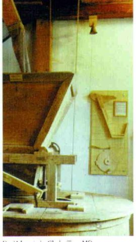
Museum Alte Dorfmühle
250 m
Mills
Alte Dorfmühle mit Museum
 270 m
Farmhouses and Farm Buildings
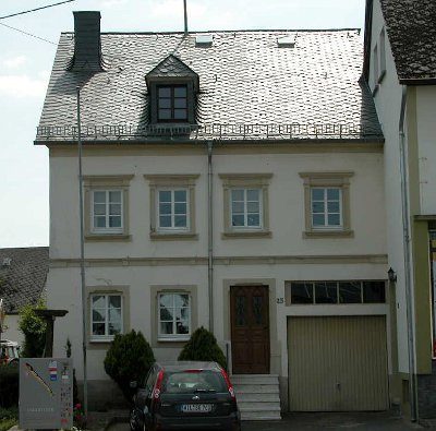
Streckhof
Chapels
Kapelle
Wayside Shrines and Stations of the Cross