Field Names · Undated
Aufm Büsch

Description
This description is only available in German.
Translate with Google opens this page in Google Translate (external service)
Büsch = Wald. [1]
Classification
- Subject area
- History
- Category
- Field Names
- Date
- Undatiert
- Period
- Undated
Location
- District
- Trier-Saarburg
- Collective municipality
- Trier-Land
- Municipality
- Kordel
- Locality / location
- Hochmark
- Field name
- Aufm Büsch
- Coordinates
- WGS 84: 49.848605, 6.661910 (Position: exact) WGS 84: 49° 50′ 55.0″ N, 6° 39′ 42.9″ E UTM 32 (ETRS89): E 331918 · N 5524420
Sources
Data sources
- [1] Heinrich Dittmaier: Rheinische Flurnamen. Ludwig Röhrscheid Verlag, Bonn, 1963.
On the internet
Picture credits
- Picture 1: © Peter Valerius, Kordel, 2010.
Last edited: 15 Jul 2020 Object ID: 18329
https://kulturdb.de/en/objekt/18329-kordel-aufm-buesch
Nearby
The nearest objects
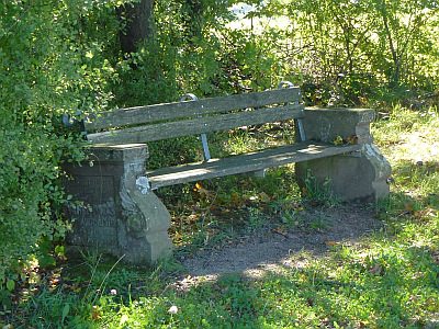 80 m
Viewpoints
Aussichtspunkt auf dem Sommerberg
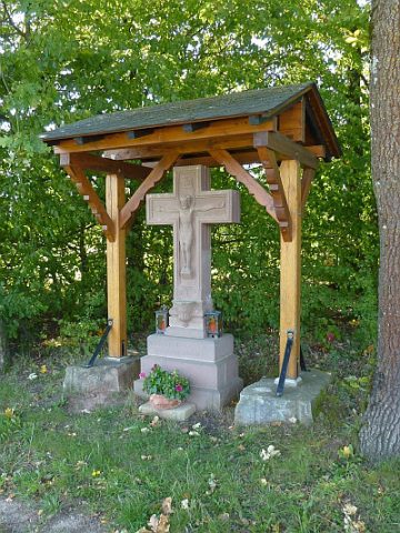 110 m
Wayside Shrines and Stations of the Cross
Kreuz auf dem Sommerberg
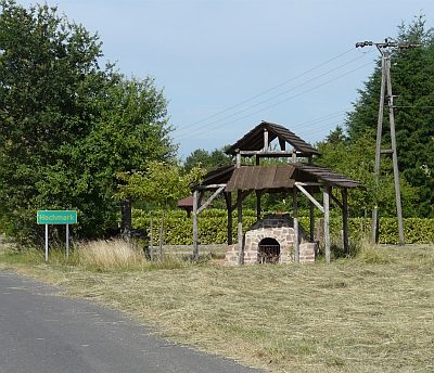 160 m
Extraction and Processing of Raw Materials
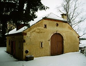
Historischer Glasofen auf der Hochmark
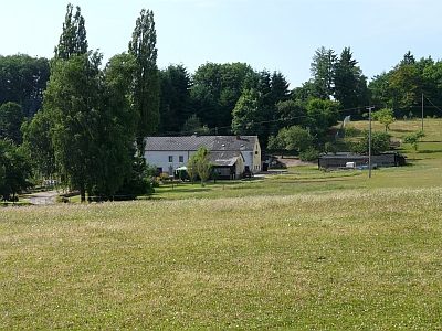 180 m
Field Names
Auf dem Heidenheidchen
 200 m
Exhibitions, Cultural Centres and Memorial Sites
Kulturscheune
No picture
310 m
Field Names
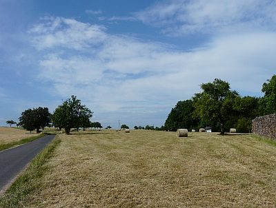
In der Glasheld
 340 m
Field Names
Hinter dem Jungenwald
No picture
450 m
Field Names