Field Names · Undated
Auf der Butzerbach

Description
This description is only available in German.
Translate with Google opens this page in Google Translate (external service)
Namensgeber ist der 3,2 km lange Bach der hier in die Kyll mündet. [1]
Classification
- Subject area
- History
- Category
- Field Names
- Date
- Undatiert
- Period
- Undated
Location
- District
- Trier-Saarburg
- Collective municipality
- Trier-Land
- Municipality
- Kordel
- Locality / location
- Burg Ramstein
- Field name
- Auf der Butzerbach
- Coordinates
- WGS 84: 49.825269, 6.648597 (Position: exact) WGS 84: 49° 49′ 31.0″ N, 6° 38′ 54.9″ E UTM 32 (ETRS89): E 330880 · N 5521856
Sources
Data sources
- [1] Peter Valerius, Kordel, 2020.
On the internet
Picture credits
- Picture 1: Google Earth
Last edited: 15 Jul 2020 Object ID: 18333
https://kulturdb.de/en/objekt/18333-kordel-auf-der-butzerbach
Nearby
The nearest objects
 80 m
Viewpoints
Aussichtspunkt am Radweg
 90 m
Field Names
Im Dreihut
 130 m
Field Names
Unter der Butzerbach
 140 m
Wayside Shrines and Stations of the Cross
Ehemaliges Ramsteiner Kreuz
 180 m
Railways
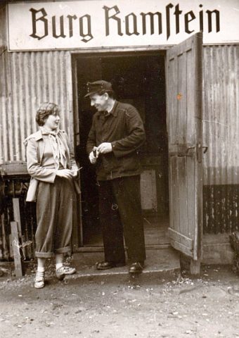
Ehemaliger Bahnhaltepunkt Burg Ramstein
 180 m
Field Names
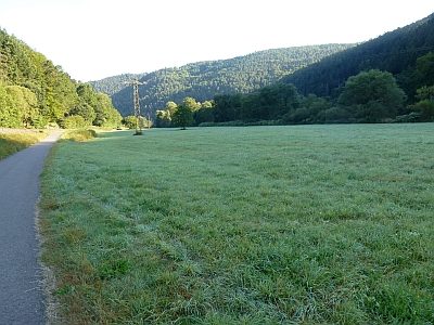
Beim Ramsteinerkreuz
 200 m
Field Names
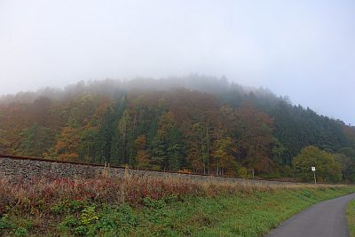
In den Leyen
 210 m
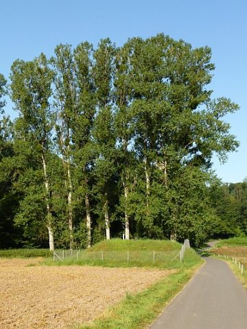
Fountains and Wells