Railways · 20th Century
Ehemaliger Bahnhaltepunkt Burg Ramstein
Bahn-Km 159,7


Description
This description is only available in German.
Translate with Google opens this page in Google Translate (external service)
15.07.1933 Wiedereröffnung der Station Haltepunkt Burg Ramstein.
Classification
- Subject area
- Architectural and Art Monuments
- Object type
- Railways
- Date
- 1925
- Period
- 20th Century
Location
- District
- Trier-Saarburg
- Collective municipality
- Trier-Land
- Municipality
- Kordel
- Locality / location
- Ramsteinerbrücke
- Field name
- Unter der Butzerbach
- Coordinates
- WGS 84: 49.823869, 6.649718 (Position: exact) WGS 84: 49° 49′ 25.9″ N, 6° 38′ 59.0″ E UTM 32 (ETRS89): E 330956 · N 5521698
Sources
Data sources
- [1] Hubert Thoma: Kleine Kordeler Chronik. Trier 1956. Hrsg. Arbeitsgemeinschaft für Landesgeschichte und Volkskunde des Trierer Raumes in Verbindung mit dem Heimatverein Kordel. https://heimatverein-kordel.de/archiv/chronik-hubert-thoma
- [2] http://www.hs-merseburg.de/~nosske/EpocheII/dd/e2d_3833.html
On the internet
Picture credits
Last edited: 4 Feb 2017 Object ID: 18634
https://kulturdb.de/en/objekt/18634-kordel-ehemaliger-bahnhaltepunkt-burg-ramstein
Nearby
The nearest objects
 70 m
Road Transport
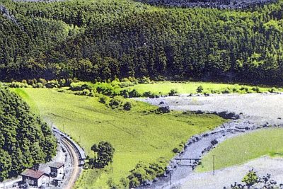
Ehemalige Brücke über die Kyll
 80 m
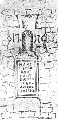
Wayside Shrines and Stations of the Cross
Ehemaliges Ramsteiner Kreuz
 110 m
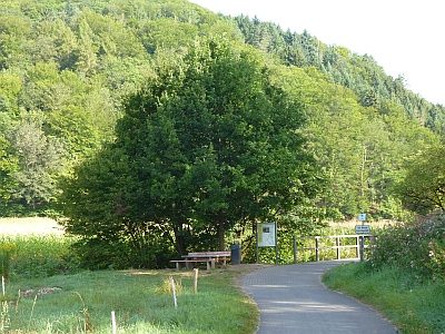
Viewpoints
Aussichtspunkt am Radweg
 120 m
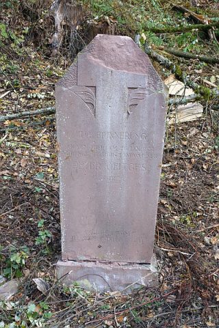
Burial Sites
Schrifttafel in Grabsteinform
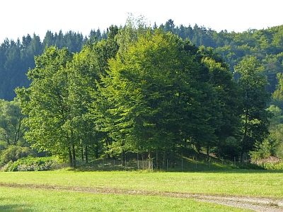 160 m
Fountains and Wells
Ramstein Brunnen 5
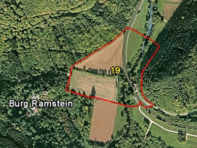 180 m
Field Names
Auf der Butzerbach
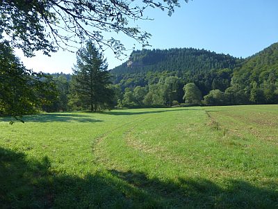 180 m
Field Names
Unterm Ramsteinermaar
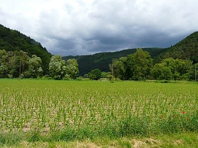 190 m
Field Names