Field Names · Undated
Unterm Ramsteinermaar

Description
This description is only available in German.
Translate with Google opens this page in Google Translate (external service)
Maar ist von alters her die allgemeine Bezeichnung für ein Feuchtgebiet (Sumpf, Moor, Au- oder Bruchwald, Feuchtwiese, Ried) oder ein Stillgewässer (See, Teich, Weiher). [1]
Classification
- Subject area
- History
- Category
- Field Names
- Date
- Undatiert
- Period
- Undated
Location
- District
- Trier-Saarburg
- Collective municipality
- Trier-Land
- Municipality
- Kordel
- Locality / location
- Burg Ramstein
- Field name
- Unterm Ramsteinermaar
- Coordinates
- WGS 84: 49.822306, 6.648971 (Position: exact) WGS 84: 49° 49′ 20.3″ N, 6° 38′ 56.3″ E UTM 32 (ETRS89): E 330896 · N 5521526
Sources
Data sources
- [1] Seite "Maar (Feuchtgebiet)". In: Wikipedia, Die freie Enzyklopädie. Bearbeitungsstand: 31. Oktober 2013, 17:46 UTC. URL: http://de.wikipedia.org/w/index.php?title=Maar_(Feuchtgebiet)&oldid… (Abgerufen: 13. Dezember 2014, 23:50 UTC)
On the internet
Picture credits
- Picture 1: © Peter Valerius, Kordel, 2015.
Last edited: 1 Sep 2015 Object ID: 35732
https://kulturdb.de/en/objekt/35732-kordel-unterm-ramsteinermaar
Nearby
The nearest objects
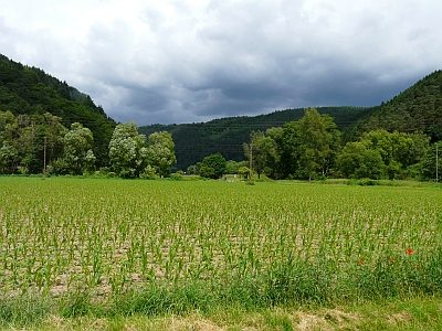 80 m
Field Names
Auf der Kosteranwand im Teich
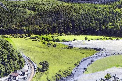 120 m
Road Transport
Ehemalige Brücke über die Kyll
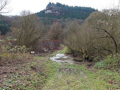 120 m
Fords
Furt durch den Altarm der Kyll
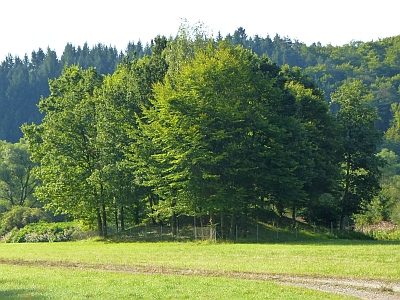 130 m
Fountains and Wells
Ramstein Brunnen 5
 130 m
Fountains and Wells
Ramstein Brunnen 6
 130 m
Settlements
Römische Siedlungsstelle Ramstein
 170 m
Field Names
Hofland im Teich
 180 m
Railways