Wayside Shrines and Stations of the Cross · Historicism / Art Nouveau
Wegekreuz von 1872


Description
This description is only available in German.
Translate with Google opens this page in Google Translate (external service)
Südlich der Ortslage, an der Straße nach Dohm-Lammersdorf. [1]
Classification
- Subject area
- Architectural and Art Monuments
- Category
- Religious Buildings
- Object type
- Wayside Shrines and Stations of the Cross
- Date
- 1872
Location
- District
- Vulkaneifel
- Collective municipality
- Gerolstein
- Town
- Hillesheim
- Locality / location
- Niederbettingen
- Field name
- Auf dem Wellesacker
- Coordinates
- WGS 84: 50.265041, 6.649717 (Position: exact) WGS 84: 50° 15′ 54.1″ N, 6° 38′ 59.0″ E UTM 32 (ETRS89): E 332498 · N 5570742
Sources
Data sources
- [1] Clemens Baasch, 54570 Wallenborn, 2010.
On the internet
Picture credits
Last edited: 12 Feb 2017 Object ID: 18472
https://kulturdb.de/en/objekt/18472-hillesheim-wegekreuz-von-1872
Nearby
The nearest objects
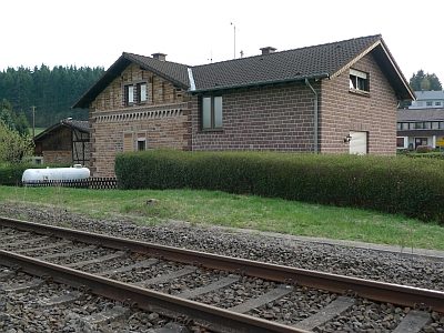 310 m
Railways
Ehemaliges Bahnwärterhaus
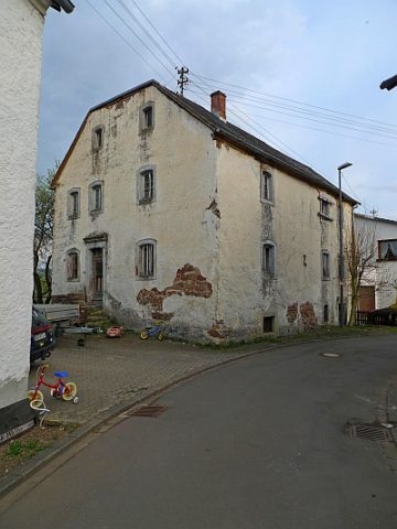 370 m
Mills
Ehemalige Mühle
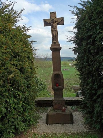 430 m
Wayside Shrines and Stations of the Cross
Schaftkreuz von 1697
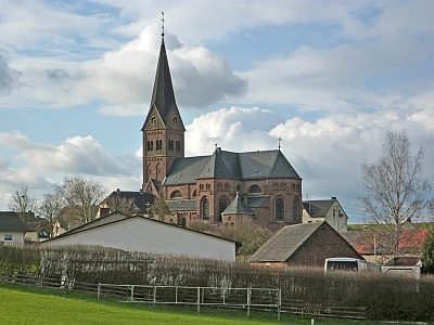 430 m
Catholic Churches
Herz-Jesu-Kirche
 430 m
Organs
Herz-Jesu-Kirche - Orgel
 430 m
Catholic Churches
Herz-Jesu-Kirche - Kreuzweg
 430 m
Catholic Churches
Herz-Jesu-Kirche - Ambo
 430 m
Altars