Field Names · Undated
Bei der Elm


© GeoBasis-DE / LVermGeoRP, dl-de/by-2-0
There is no picture of this object yet. Do you have a photo that you would like to make available to the Kulturdatenbank? Submit a picture
Description
This description is only available in German.
Translate with Google opens this page in Google Translate (external service)
Bei der "Elm" muss früher, was der Name bedeutet, eine auffallende Ulme gestanden haben. [1]
Classification
- Subject area
- History
- Category
- Field Names
- Date
- Undatiert
- Period
- Undated
Location
- District
- Trier-Saarburg
- Collective municipality
- Trier-Land
- Municipality
- Kordel
- Field name
- Bei der Elm
- Coordinates
- WGS 84: 49.831619, 6.651225 (Position: exact) WGS 84: 49° 49′ 53.8″ N, 6° 39′ 04.4″ E UTM 32 (ETRS89): E 331091 · N 5522556
Sources
Data sources
- [1] Anton Obser: Kordel. Geschichte der Kylltalgemeinde. Hrsg. Ortsgemeinde Kordel, 1982.
On the internet
Last edited: 15 Jul 2020 Object ID: 18587
https://kulturdb.de/en/objekt/18587-kordel-bei-der-elm
Nearby
The nearest objects
Fountains and Wells
Riemenfeld Brunnen 1
Field Names
Über dem Maar
Field Names
Oben in den Riemenfeldern
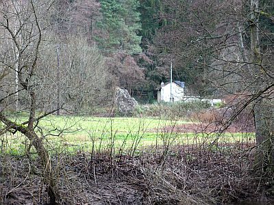 120 m
Field Names
In den Laukenfeldern
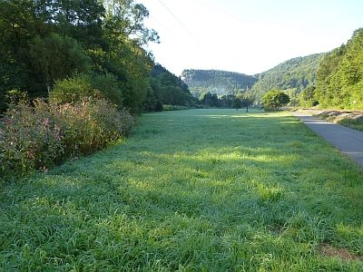 170 m
Field Names
Auf dem Robeswach
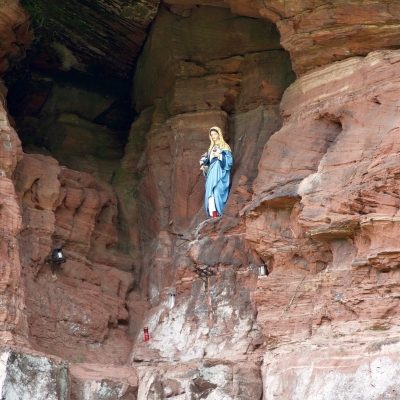 180 m
Marian Grottoes
Mariengrotte am Ramsteiner Weg
Rocks
Felsen In den Leyen nördl. Burg Ramstein
200 m
Field Names