Place Names / Local History · Celtic / Roman Period
Ortsgeschichte

Description
This description is only available in German.
Translate with Google opens this page in Google Translate (external service)
Die ältesten Siedlungsspuren dieser Gemeinde reichen zurück bis in die Römerzeit. Im Gemarkungsbereich Auf der Burg wurden an mehreren Stellen Schutt- und Ziegelbrocken aus jener Zeit erkundet. Urkundliche Erwähnung findet Büdlich erstmals als Budeliacum in einem Schriftstück aus dem Jahre 633. Infolge der baulichen Vergrößerung hat sich die Siedlungsstruktur der Ortsgemeinde Büdlich von einem Haufendorf zu einem Mehrstraßendorf entwickelt.
Classification
- Subject area
- History
- Category
- Place Names / Local History
- Date
- Circa 500 vor Chr. bis circa 500 nach Chr.
- Period
- Celtic / Roman Period
Location
- District
- Bernkastel-Wittlich
- Collective municipality
- Thalfang am Erbeskopf
- Municipality
- Büdlich
- Field name
- Ortslage
- Coordinates
- WGS 84: 49.780315, 6.904491 (Position: within the village) WGS 84: 49° 46′ 49.1″ N, 6° 54′ 16.2″ E UTM 32 (ETRS89): E 349143 · N 5516312
Sources
Data sources
On the internet
de.wikipedia.org/wiki/B%C3%BCdlich
Picture credits
- Picture 1: © Helge Rieder, Konz, 2001
Last edited: 20 Jul 2001 Object ID: 1859
https://kulturdb.de/en/objekt/1859-buedlich-ortsgeschichte
Nearby
The nearest objects
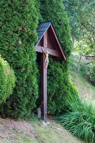 60 m
Wayside Shrines and Stations of the Cross
Wegekreuz
 110 m
Market Towns
Marktort Büdlich
Field Names
Im Ruheberg auf der Trift
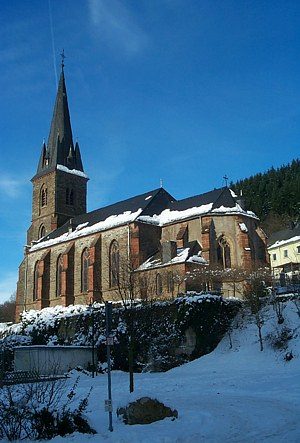 150 m
Catholic Churches
Sankt Agatha
Wayside Shrines and Stations of the Cross
Wegekreuz
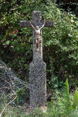 290 m
Wayside Shrines and Stations of the Cross
Wegekreuz
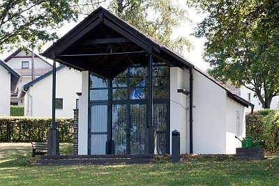 310 m
Chapels
Friedhofskapelle
Wayside Shrines and Stations of the Cross