Chapels · Undated
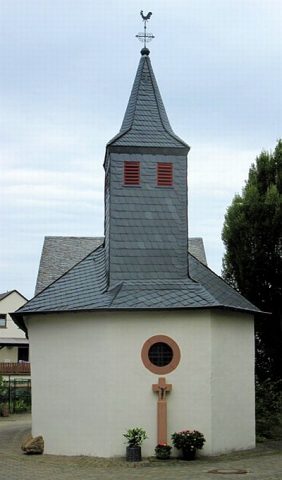
Friedhofskapelle

Classification
- Subject area
- Architectural and Art Monuments
- Category
- Religious Buildings
- Object type
- Chapels
- Date
- Undatiert
- Period
- Undated
Location
- District
- Bernkastel-Wittlich
- Collective municipality
- Thalfang am Erbeskopf
- Municipality
- Breit
- Street
- Friedhofsweg
- Field name
- In den Geichen
- Coordinates
- WGS 84: 49.777570, 6.904300 (Position: exact) WGS 84: 49° 46′ 39.3″ N, 6° 54′ 15.5″ E UTM 32 (ETRS89): E 349121 · N 5516008
Sources
Data sources
- [1] Andreas Max Kunz, Trier, 2019.
On the internet
Picture credits
- Picture 1: © Andreas Max Kunz, Trier, 2019.
Last edited: 6 Sep 2019 Object ID: 28498
https://kulturdb.de/en/objekt/28498-breit-friedhofskapelle
Nearby
The nearest objects
No picture
60 m
Wayside Shrines and Stations of the Cross
Wegekreuz
No picture
130 m
Wayside Shrines and Stations of the Cross
Wegekreuz
 160 m
Catholic Churches
Sankt Kosmas und Damian
No picture
190 m
Viewpoints
Aussichtspunkt östlich der Ortslage
No picture
300 m
Field Names
Im Ruheberg auf der Trift
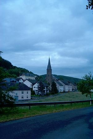 310 m
Place Names / Local History
Ortsgeschichte
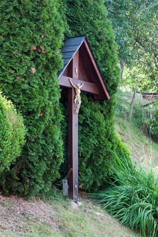 330 m
Wayside Shrines and Stations of the Cross
Wegekreuz
No picture
390 m
Field Names