Wayside Shrines and Stations of the Cross · Undated
Wegekreuz


Description
This description is only available in German.
Translate with Google opens this page in Google Translate (external service)
Es steht auf der Grünfläche zwischen Wittlicher Straße / Auf Kommer.
Von dem Wegekreuz ist nur noch das Kreuz vorhanden; der Errichter und
der Grund sind nicht bekannt. Im II. Weltkrieg soll dieses Kreuz (noch
als Wegekreuz) einem Manderscheider, der durch Jagdbomber beschossen
wurde, als Schutz gedient haben. Vielleicht war dies der Grund der
Zerstörung. [1]
Classification
- Subject area
- Architectural and Art Monuments
- Category
- Religious Buildings
- Object type
- Wayside Shrines and Stations of the Cross
- Date
- Undatiert
- Period
- Undated
Location
- District
- Bernkastel-Wittlich
- Collective municipality
- Wittlich-Land
- Locality / location
- Manderscheid
- Street
- Wittlicher Straße
- Field name
- Ortslage
- Coordinates
- WGS 84: 50.088970, 6.806605 (Position: exact) WGS 84: 50° 05′ 20.3″ N, 6° 48′ 23.8″ E UTM 32 (ETRS89): E 343103 · N 5550827
Sources
Data sources
- [1] Friedbert Wißkirchen, Daun, 2010.
On the internet
Picture credits
Last edited: 2 Oct 2021 Object ID: 18712
https://kulturdb.de/en/objekt/18712-manderscheid-bernkastel-wittlich-wegekreuz
Nearby
The nearest objects
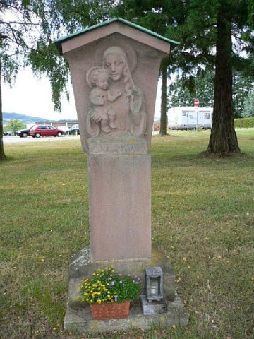 10 m
Wayside Shrines and Stations of the Cross
Bildstock mit der Muttergottes
Extraction and Processing of Raw Materials
Ehemalige Kiesgrube
Field Names
Dicken Bungert
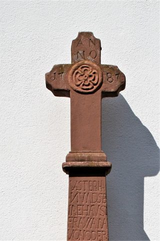 180 m
Wayside Shrines and Stations of the Cross
Kommer-Kreuz auch Ostermann-Kreuz
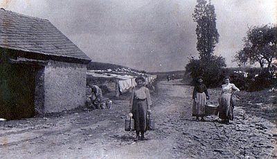 200 m
Washing Places
Kommerbrunnen und Kommerhäuschen
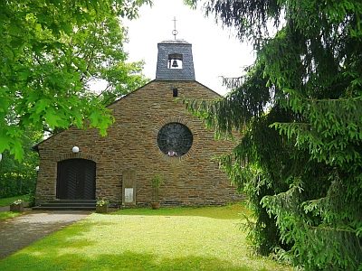 300 m
Protestant Churches
Trinitatiskirche
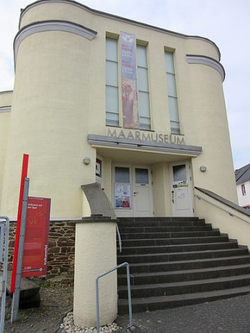 300 m
Museums
Maarmuseum
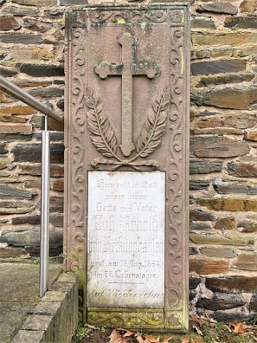 310 m
Burial Sites