Extraction and Processing of Raw Materials · Historicism / Art Nouveau
Ehemalige Kiesgrube


© GeoBasis-DE / LVermGeoRP, dl-de/by-2-0
There is no picture of this object yet. Do you have a photo that you would like to make available to the Kulturdatenbank? Submit a picture
Classification
- Subject area
- Architectural and Art Monuments
- Category
- Economy, Trade and Transport
- Object type
- Extraction and Processing of Raw Materials
- Date
- 1895
Location
- District
- Bernkastel-Wittlich
- Collective municipality
- Wittlich-Land
- Locality / location
- Manderscheid
- Street
- Wittlicher Straße
- Field name
- Ortslage
- Coordinates
- WGS 84: 50.089885, 6.806500 (Position: exact) WGS 84: 50° 05′ 23.6″ N, 6° 48′ 23.4″ E UTM 32 (ETRS89): E 343098 · N 5550929
Sources
Data sources
- [1] Topographische Karte 1:25000 von 1895 https://geo4.service24.rlp.de/client/lf/lawa/
On the internet
Last edited: 4 Mar 2020 Object ID: 49249
https://kulturdb.de/en/objekt/49249-manderscheid-bernkastel-wittlich-ehemalige-kiesgrube
Nearby
The nearest objects
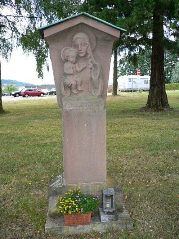 90 m
Wayside Shrines and Stations of the Cross
Bildstock mit der Muttergottes
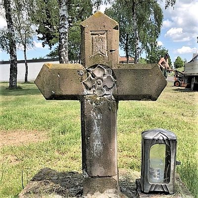 100 m
Wayside Shrines and Stations of the Cross
Wegekreuz
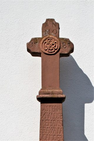 140 m
Wayside Shrines and Stations of the Cross
Kommer-Kreuz auch Ostermann-Kreuz
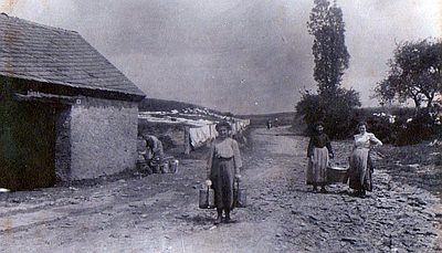 170 m
Washing Places
Kommerbrunnen und Kommerhäuschen
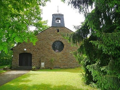 200 m
Protestant Churches
Trinitatiskirche
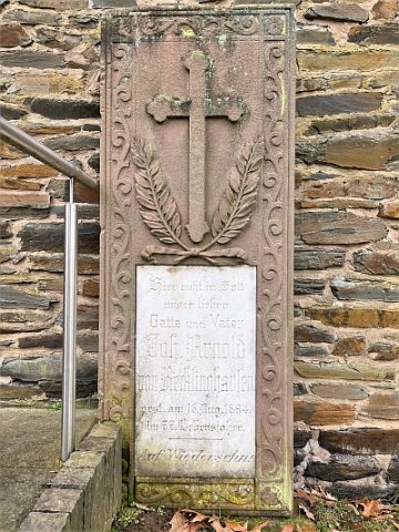 200 m
Burial Sites
Trinitatiskirche - Grabstein von Recklinghausen
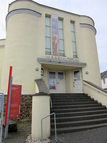 210 m
Museums
Maarmuseum
No picture
250 m
Field Names