Mills · Neoclassicism
Ehemalige Hansgörgen-Mühle an der Kleinen Dhron


© GeoBasis-DE / LVermGeoRP, dl-de/by-2-0
There is no picture of this object yet. Do you have a photo that you would like to make available to the Kulturdatenbank? Submit a picture
Description
This description is only available in German.
Translate with Google opens this page in Google Translate (external service)
Bevölkerung der Hansgörgen-Mühle 1843: 12 (männlich: 6, weiblich: 6) [1]
Classification
- Subject area
- Architectural and Art Monuments
- Object type
- Mills
- Date
- 1843
- Period
- Neoclassicism
Location
- District
- Bernkastel-Wittlich
- Collective municipality
- Thalfang am Erbeskopf
- Municipality
- Dhronecken
- Field name
- Im Weselterweier
- Coordinates
- WGS 84: 49.725838, 6.970092 (Position: exact) WGS 84: 49° 43′ 33.0″ N, 6° 58′ 12.3″ E UTM 32 (ETRS89): E 353702 · N 5510126
Sources
Data sources
- [1] Bärsch: Beschreibung des Regierungsbezirks Trier nach amtlichen Quellen. Bd. 2, Trier, 1846.
- [2] Topographische Karte von 1905.
- [3] Kartenaufnahme der Rheinlande durch Tranchot und von Müffling (1803-1820) Blattnummer: 229, Jahrgang: 1812, Blattname: Hermeskeil © GeoBasis-DE / LVermGeoRP 2016, dl-de/by-2-0, www.lvermgeo.rlp.de
On the internet
Last edited: 18 Oct 2012 Object ID: 18841
https://kulturdb.de/en/objekt/18841-dhronecken-ehemalige-hansgoergen-muehle-an-der-kleinen-dhron
Nearby
The nearest objects
Field Names
Im Hämelhöllerberg
Field Names
Im Brühl
Field Names
Am Hämelhöller Berg
Field Names
Im Hämelhöllerflur
Field Names
Auf der Breitwies
Field Names
Im Regenbogen
 550 m
Wayside Shrines and Stations of the Cross
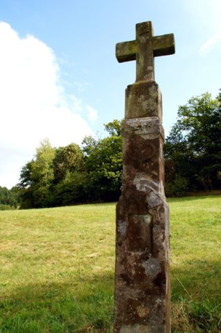
Unglückskreuz an der Simonsmühle
Field Names