Field Names · Undated
Am Hämelhöller Berg


© GeoBasis-DE / LVermGeoRP, dl-de/by-2-0
There is no picture of this object yet. Do you have a photo that you would like to make available to the Kulturdatenbank? Submit a picture
Description
This description is only available in German.
Translate with Google opens this page in Google Translate (external service)
Hölle in Flurnamen dient meist als Bezeichnung für besonders tiefe, abgelegene oder düstere Örtlichkeiten. In Flurnamen hat es die Bedeutung‚ 'Schlucht, tiefer Hohlweg, entlegener Winkel’. In der Regel wird Hölle für tiefe, teils bewaldete Senken verwendet, die oftmals von der Siedlung weit entfernt liegen. [1]
Classification
- Subject area
- History
- Category
- Field Names
- Date
- Undatiert
- Period
- Undated
Location
- District
- Bernkastel-Wittlich
- Collective municipality
- Thalfang am Erbeskopf
- Municipality
- Malborn
- Field name
- Am Hämelhöller Berg
- Coordinates
- WGS 84: 49.724668, 6.965790 (Position: exact) WGS 84: 49° 43′ 28.8″ N, 6° 57′ 56.8″ E UTM 32 (ETRS89): E 353388 · N 5510005
Sources
Data sources
On the internet
Last edited: 22 Feb 2015 Object ID: 36625
https://kulturdb.de/en/objekt/36625-malborn-am-haemelhoeller-berg
Nearby
The nearest objects
Field Names
Im Brühl
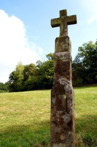 290 m
Wayside Shrines and Stations of the Cross
Unglückskreuz an der Simonsmühle
Mills
Simonsmühle, Geisfeldermühle
Field Names
Im Hämelhöllerberg
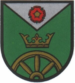 300 m
Coats of Arms
Wappen der Gemeinde Geisfeld
Mills
Ehemalige Hansgörgen-Mühle an der Kleinen Dhron
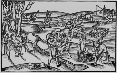 500 m
Field Names
Im Faulenberg
Field Names