Town Houses and Commercial Buildings · Baroque / Rococo
Unter der Pfordt 51
- Listed monument


© GeoBasis-DE / LVermGeoRP, dl-de/by-2-0
There is no picture of this object yet. Do you have a photo that you would like to make available to the Kulturdatenbank? Submit a picture
Description
This description is only available in German.
Translate with Google opens this page in Google Translate (external service)
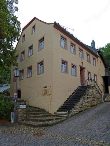
Stattliches Wohnhaus mit Krüppelwalmdach, um 1800 (rückwärtig bezeichnet 1728, wohl Zweitverwendung). [1]
Classification
- Subject area
- Architectural and Art Monuments
- Category
- Residential and Farm Buildings
- Object type
- Town Houses and Commercial Buildings
- Date
- 1728
- Period
- Baroque / Rococo
Location
- District
- Eifelkreis Bitburg-Prüm
- Collective municipality
- Prüm
- Municipality
- Schönecken
- Street
- Unter der Pfordt 51
- Field name
- Ortslage
- Coordinates
- WGS 84: 50.158428, 6.463661 (Position: exact) WGS 84: 50° 09′ 30.3″ N, 6° 27′ 49.2″ E UTM 32 (ETRS89): E 318837 · N 5559325
Sources
Data sources
- [1] Seite "Liste der Kulturdenkmäler in Schönecken". In: Wikipedia, Die freie Enzyklopädie. Bearbeitungsstand: 8. April 2010, 16:10 UTC. URL: http://de.wikipedia.org/w/index.php?title=Liste_der_Kulturdenkm%C3%… (Abgerufen: 31. August 2010, 07:46 UTC)
On the internet
Last edited: 31 Aug 2010 Object ID: 18979
https://kulturdb.de/en/objekt/18979-schoenecken-unter-der-pfordt-51
Nearby
The nearest objects
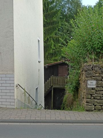 20 m
Springs
Zapps Born - Sogenannter Schönecker Bor
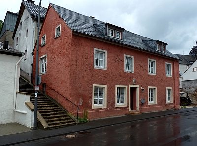 40 m
Town Houses and Commercial Buildings
Haus Unter der Pfordt 50
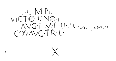 40 m
Markers and Monuments
Meilenstein
Farmhouses and Farm Buildings
Quereinhaus
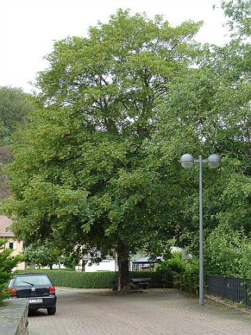 60 m
Maples
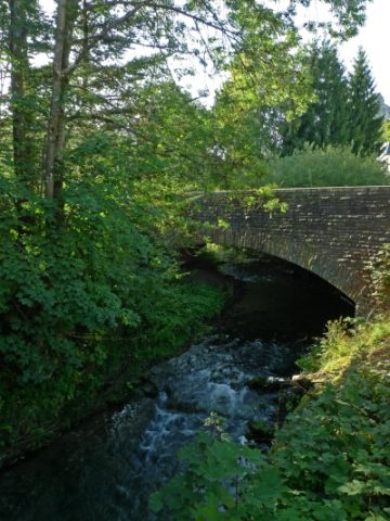
Ahorn an der Vollbachbrücke
 60 m
Road Transport
Vollbachbrücke über die Nims
 80 m
Wayside Shrines and Stations of the Cross
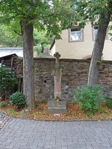
Kreuzigungsbildstock
 80 m
Town Houses and Commercial Buildings