Extraction and Processing of Raw Materials · Historicism / Art Nouveau
Ehemaliger Steinbruch am Mühlenberg


© GeoBasis-DE / LVermGeoRP, dl-de/by-2-0
There is no picture of this object yet. Do you have a photo that you would like to make available to the Kulturdatenbank? Submit a picture
Classification
- Subject area
- Architectural and Art Monuments
- Category
- Economy, Trade and Transport
- Object type
- Extraction and Processing of Raw Materials
- Date
- 1886
Location
- District
- Vulkaneifel
- Collective municipality
- Daun
- Municipality
- Bleckhausen
- Field name
- Mühlenberg
- Coordinates
- WGS 84: 50.117473, 6.767753 (Position: exact) WGS 84: 50° 07′ 02.9″ N, 6° 46′ 03.9″ E UTM 32 (ETRS89): E 340419 · N 5554078
Sources
Data sources
- [1] Topographische Karte von 1886.
On the internet
Last edited: 29 Sep 2010 Object ID: 19102
https://kulturdb.de/en/objekt/19102-bleckhausen-ehemaliger-steinbruch-am-muehlenberg
Nearby
The nearest objects
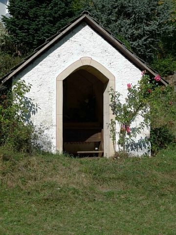 230 m
Wayside Shrine Houses
Heiligenhäuschen
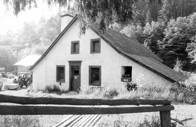 260 m
Mills
Bleckhausener Mühle
No picture
720 m
Field Names
Katzenborn
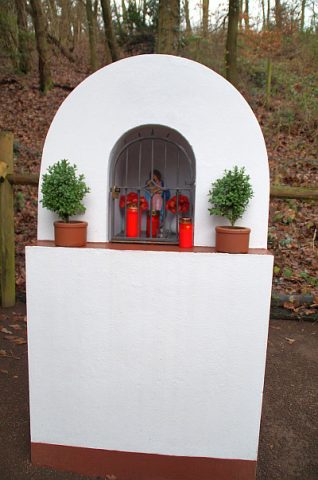 770 m
Wayside Shrine Houses
Heiligenhäuschen
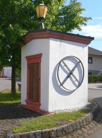 990 m
Fountains and Wells
Brunnenhaus
No picture
1,000 m
Wayside Shrines and Stations of the Cross
Wegekreuz
No picture
1.1 km
Field Names
Hundsberg
No picture
1.2 km
Field Names