Extraction and Processing of Raw Materials · Historicism / Art Nouveau
Ehemaliger Steinbruch Hinter Rocklof

Classification
- Subject area
- Architectural and Art Monuments
- Category
- Economy, Trade and Transport
- Object type
- Extraction and Processing of Raw Materials
- Date
- 1886
Location
- District
- Eifelkreis Bitburg-Prüm
- Collective municipality
- Bitburger Land
- Municipality
- Neidenbach
- Field name
- Hinter Rocklof
- Coordinates
- WGS 84: 50.097730, 6.569588 (Position: exact) WGS 84: 50° 05′ 51.8″ N, 6° 34′ 10.5″ E UTM 32 (ETRS89): E 326182 · N 5552326
Sources
Data sources
- [1] Topographische Karte von 1886.
On the internet
Picture credits
- Picture 1: Bildarchiv Foto Marburg https://www.bildindex.de/document/obj20674604?medium=mi07524d05 (Ausschnitt)
Last edited: 15 Mar 2024 Object ID: 19133
https://kulturdb.de/en/objekt/19133-neidenbach-ehemaliger-steinbruch-hinter-rocklof
Nearby
The nearest objects
No picture
210 m
Field Names
Auf Rockloff bei der Ruhdell
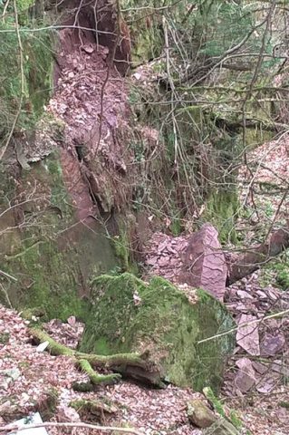 220 m
Extraction and Processing of Raw Materials
Ehemaliger Steinbruch
No picture
240 m
Field Names
In der Ruhdell
No picture
530 m
Field Names
Auf dem Zuckerberg
 580 m
Burial Mounds
Römisches Gräberfeld
 650 m
Wayside Shrines and Stations of the Cross
Bildstock von 1827
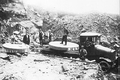 720 m
Extraction and Processing of Raw Materials
Steinbruch am Schneeberg
720 m
Extraction and Processing of Raw Materials