Burial Mounds · Celtic / Roman Period
Römisches Gräberfeld
- Listed monument


Description
This description is only available in German.
Translate with Google opens this page in Google Translate (external service)
Etwa 300 Meter ostwärts vom Nickelshof wurde ein größeres römisches Gräberfeld entdeckt. Das alles dürfte Beweis sein, daß im Neuheilenbacher Tal vom Uscher Weg ab, bis zum Dorf Neuheilenbach eine römische Siedlung bestanden hat. [1]
Classification
- Subject area
- Archaeological Monuments
- Category
- Burials
- Object type
- Burial Mounds
- Date
- Circa 500 vor Chr. bis circa 500 nach Chr.
- Period
- Celtic / Roman Period
Location
- District
- Eifelkreis Bitburg-Prüm
- Collective municipality
- Bitburger Land
- Municipality
- Neidenbach
- Locality / location
- Nickelshof
- Field name
- Neidenbacher Wald
- Coordinates
- WGS 84: 50.102879, 6.568377 (Position: presumed) WGS 84: 50° 06′ 10.4″ N, 6° 34′ 06.2″ E UTM 32 (ETRS89): E 326114 · N 5552901
Sources
Data sources
- [1] Karl E. Becker: Das Kyllburger Land. Kyllburg 1977. Hrsg. Verbandsgemeinde Kyllburg.
On the internet
Picture credits
- Picture 1: © Sandra Wack, Neuheilenbach, 2019. www.koerbchen-gesucht.de
- Picture 2: © Sandra Wack, Neuheilenbach, 2019. www.koerbchen-gesucht.de
- Picture 3: © Sandra Wack, Neuheilenbach, 2019. www.koerbchen-gesucht.de
- Picture 4: © Sandra Wack, Neuheilenbach, 2019. www.koerbchen-gesucht.de
- Picture 5: © Sandra Wack, Neuheilenbach, 2019. www.koerbchen-gesucht.de
- Picture 6: © Sandra Wack, Neuheilenbach, 2019. www.koerbchen-gesucht.de
Last edited: 15 Apr 2019 Object ID: 9124
https://kulturdb.de/en/objekt/9124-neidenbach-roemisches-graeberfeld
Nearby
The nearest objects
Field Names
Auf dem Zuckerberg
Field Names
Am Zuckerberg
Cremation Graves
Neun römische Brandgräber
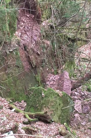 400 m
Extraction and Processing of Raw Materials
Ehemaliger Steinbruch
Field Names
Ober dem Densborner Weg
Field Names
Unter dem Densborner Weg
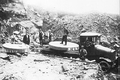 580 m
Extraction and Processing of Raw Materials
Ehemaliger Steinbruch Hinter Rocklof
Settlements