Extraction and Processing of Raw Materials · 20th Century
Ehemaliger Steinbruch im Haardtwald


Classification
- Subject area
- Architectural and Art Monuments
- Category
- Economy, Trade and Transport
- Object type
- Extraction and Processing of Raw Materials
- Date
- 1934
- Period
- 20th Century
Location
- District
- Trier-Saarburg
- Collective municipality
- Trier-Land
- Municipality
- Welschbillig
- Locality / location
- Möhn
- Field name
- Der Haardtwald
- Coordinates
- WGS 84: 49.841620, 6.623850 (Position: exact) WGS 84: 49° 50′ 29.8″ N, 6° 37′ 25.9″ E UTM 32 (ETRS89): E 329158 · N 5523730
Sources
Data sources
- [1] Topographische Karte von 1934.
On the internet
Picture credits
Last edited: 13 Aug 2015 Object ID: 19168
https://kulturdb.de/en/objekt/19168-welschbillig-ehemaliger-steinbruch-im-haardtwald
Nearby
The nearest objects
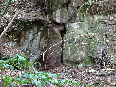 110 m
Extraction and Processing of Raw Materials
Abbau von Kupfermineralien
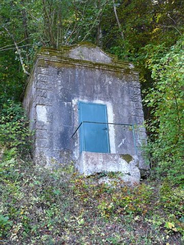 220 m
Water Supply
Wasserhochbehälter im Tauenberg
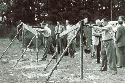 230 m
Shooting Ranges
Ehemaliger Schießstand am Altbach
 270 m
Field Names
Bei der Hexley
 280 m
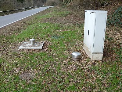
Fountains and Wells
Brunnen zur Trinkwasserversorgung
 280 m
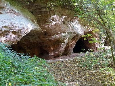
Caves
Höhlen in der Kaulay
 290 m
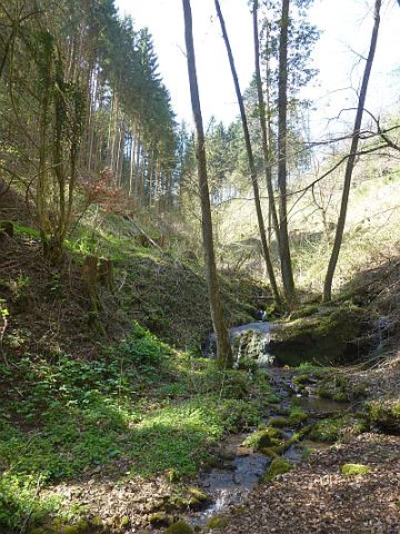
Field Names
Im Tauenberg bei der Steinkaul
No picture
300 m
Extraction and Processing of Raw Materials