Ferries · Neoclassicism
Ehemalige Moselfähre


© GeoBasis-DE / LVermGeoRP, dl-de/by-2-0
There is no picture of this object yet. Do you have a photo that you would like to make available to the Kulturdatenbank? Submit a picture
Description
This description is only available in German.
Translate with Google opens this page in Google Translate (external service)
Longen [...] wo eine der Gemeinde gehörige Fähre ist. [1]
Classification
- Subject area
- Architectural and Art Monuments
- Category
- Economy, Trade and Transport
- Object type
- Ferries
- Date
- 1816
- Period
- Neoclassicism
Location
- District
- Trier-Saarburg
- Collective municipality
- Schweich an der römischen Weinstraße
- Municipality
- Longuich
- Field name
- [Mosel]
- Coordinates
- WGS 84: 49.806894, 6.777831 (Position: exact) WGS 84: 49° 48′ 24.8″ N, 6° 46′ 40.2″ E UTM 32 (ETRS89): E 340113 · N 5519530
Sources
Data sources
- [1] Georg Bärsch: Der Moselstrom von Metz bis Coblentz. Trier, 1841.
- [2] Kartenaufnahme der Rheinlande durch Tranchot und von Müffling (1803-1820).
On the internet
Last edited: 25 May 2020 Object ID: 19599
https://kulturdb.de/en/objekt/19599-longuich-ehemalige-moselfaehre
Nearby
The nearest objects
Farmhouses and Farm Buildings
Wohnhaus
 130 m
Administrative Buildings
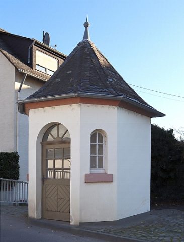
Brückenzollhäuschen
Farmhouses and Farm Buildings
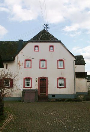
Hofanlage
 180 m
Farmhouses and Farm Buildings
Winzerhaus
Field Names
Auf der Breitheck
Field Names
Auf dem Laychen
Farmhouses and Farm Buildings
Quereinhaus
Field Names