Field Names · Renaissance
Auf dem Laychen


© GeoBasis-DE / LVermGeoRP, dl-de/by-2-0
There is no picture of this object yet. Do you have a photo that you would like to make available to the Kulturdatenbank? Submit a picture
Description
This description is only available in German.
Translate with Google opens this page in Google Translate (external service)
Historischer Beleg: 1596 - am Leigen
[...]
Deutung: Von mittelhochdeutsch ley = Schiefer. [1]
Classification
- Subject area
- History
- Category
- Field Names
- Date
- 1569
- Period
- Renaissance
Location
- District
- Trier-Saarburg
- Collective municipality
- Schweich an der römischen Weinstraße
- Municipality
- Longuich
- Field name
- Auf dem Laychen
- Coordinates
- WGS 84: 49.808693, 6.777943 (Position: exact) WGS 84: 49° 48′ 31.3″ N, 6° 46′ 40.6″ E UTM 32 (ETRS89): E 340127 · N 5519729
Sources
Data sources
- [1] Endesfelder, Kurt: Geschichte von Longuich-Kirsch. Trier 1967. Schriftenreihe: Ortschroniken des Trierer Landes, Band 13. Herausgegeben von der Arbeitsgemeinschaft für Landesgeschichte und Volkskunde des Trierer Raumes. Sektion der Trierer Gesellschaft für nützliche Forschungen durch Dr. Richard Laufner.
On the internet
Last edited: 26 Feb 2024 Object ID: 53119
https://kulturdb.de/en/objekt/53119-longuich-auf-dem-laychen
Nearby
The nearest objects
Field Names
Auf der Breitheck
Field Names
Auf dem Dürviertel
Field Names
Auf dem Nebent
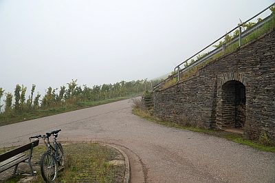 160 m
Marian Grottoes
Vespergrotte im Longuicher Berg
Ferries
Ehemalige Moselfähre
Farmhouses and Farm Buildings
Wohnhaus
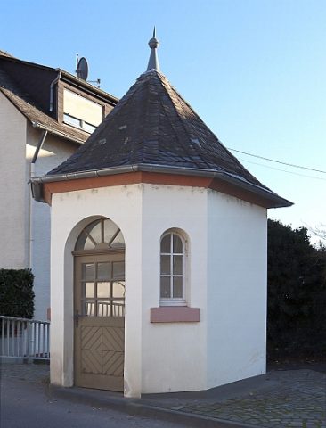 260 m
Administrative Buildings
Brückenzollhäuschen
Farmhouses and Farm Buildings