Educational Trails · Undated
Geologisch-naturkundlicher Lehrpfad

Classification
- Subject area
- Natural Features
- Category
- Educational Trails
- Date
- Undatiert
- Period
- Undated
Location
- District
- Trier-Saarburg
- Collective municipality
- Saarburg-Kell
- Municipality
- Schoden
- Field name
- Ortslage
- Coordinates
- WGS 84: 49.638713, 6.577846 (Position: within the village) WGS 84: 49° 38′ 19.4″ N, 6° 34′ 40.2″ E UTM 32 (ETRS89): E 325122 · N 5501280
Sources
Data sources
- Homepage der Verbandsgemeinde Saarburg
On the internet
Picture credits
- Picture 1: © Elke Janssen, Schoden http://www.flickr.com/photos/99364142@N00/
Last edited: 16 Feb 2007 Object ID: 1988
https://kulturdb.de/en/objekt/1988-schoden-geologisch-naturkundlicher-lehrpfad
Nearby
The nearest objects
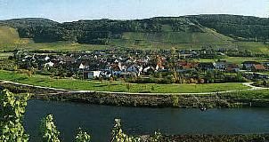 less than 10 m
Place Names / Local History
Gehöferschaft Schoden
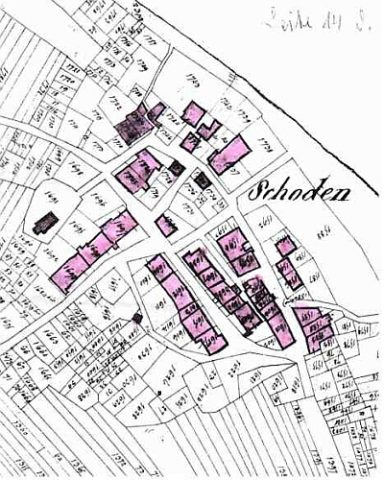 less than 10 m
Place Names / Local History
Ortsname / Ortsgeschichte
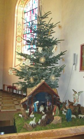 50 m
Nativity Scenes
Sankt Paulus und Sankt Maria Magdalena
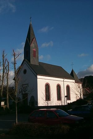 50 m
Catholic Churches
Sankt Paulus und Sankt Maria Magdalena
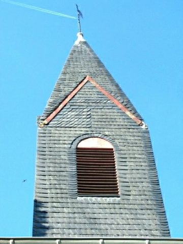 50 m
Catholic Churches
Sankt Paulus und Sankt Maria Magdalena - Turm
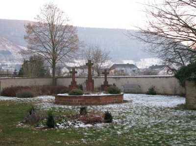 60 m
Wayside Shrines and Stations of the Cross
Kreuzgruppe auf dem alten Friedhof
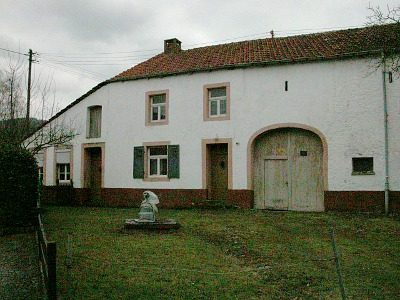 70 m
Farmhouses and Farm Buildings
Kleingehöft
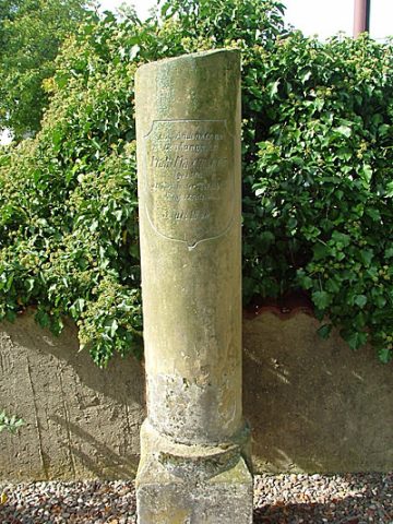 80 m
Wayside Shrines and Stations of the Cross