Wayside Shrines and Stations of the Cross · Historicism / Art Nouveau
Kenotaph an der Kirche
- Listed monument


Description
This description is only available in German.
Translate with Google opens this page in Google Translate (external service)
Am Kirchenvorplatz ein Kenotaph in Form eines Säulenstumpfes zum Andenken an den 1866 bei Königsgrätz gefallenen Kanonier Math. Maxminer. [1]
(Kenotaph = [griech.] leeres Grab, besonders für fern von der Heimat Gestorbene.)
[dtv Lexikon]
Classification
- Subject area
- Architectural and Art Monuments
- Category
- Religious Buildings
- Object type
- Wayside Shrines and Stations of the Cross
- Date
- Nach 1866
Location
- District
- Trier-Saarburg
- Collective municipality
- Saarburg-Kell
- Municipality
- Schoden
- Field name
- Ortslage
- Coordinates
- WGS 84: 49.638682, 6.576738 (Position: exact) WGS 84: 49° 38′ 19.3″ N, 6° 34′ 36.3″ E UTM 32 (ETRS89): E 325042 · N 5501279
Sources
Data sources
- [1] Denkmaltopographie Bundesrepublik Deutschland, Kulturdenkmäler in Rheinland-Pfalz, Kreis Trier-Saarburg, 12.1 Wernersche Verlagsgesellschaft 1994
On the internet
Picture credits
Last edited: 2 Oct 2007 Object ID: 8166
https://kulturdb.de/en/objekt/8166-schoden-kenotaph-an-der-kirche
Nearby
The nearest objects
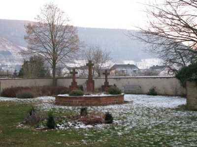 30 m
Wayside Shrines and Stations of the Cross
Kreuzgruppe auf dem alten Friedhof
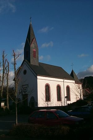 30 m
Catholic Churches
Sankt Paulus und Sankt Maria Magdalena
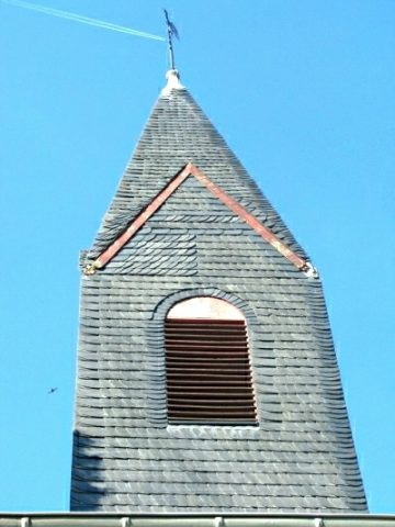 30 m
Catholic Churches
Sankt Paulus und Sankt Maria Magdalena - Turm
Fortresses and Bunkers
Westwall - Maschinengewehr-Schartenstand
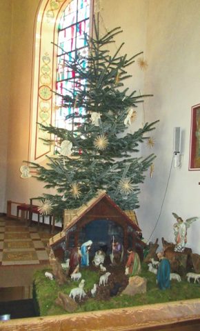 30 m
Nativity Scenes
Sankt Paulus und Sankt Maria Magdalena
 80 m
Educational Trails
Geologisch-naturkundlicher Lehrpfad
Field Names
Oberste Flur im Murtengarten
Fortresses and Bunkers