Railways · Historicism / Art Nouveau
Moseltalbahn - Ehem. Bahnhof Köwerich-Clüsserath


© GeoBasis-DE / LVermGeoRP, dl-de/by-2-0
There is no picture of this object yet. Do you have a photo that you would like to make available to the Kulturdatenbank? Submit a picture
Classification
- Subject area
- Architectural and Art Monuments
- Object type
- Railways
- Date
- 1909
Location
- District
- Trier-Saarburg
- Collective municipality
- Schweich an der römischen Weinstraße
- Municipality
- Köwerich
- Field name
- Schützenwiesen
- Coordinates
- WGS 84: 49.842169, 6.864915 (Position: exact) WGS 84: 49° 50′ 31.8″ N, 6° 51′ 53.7″ E UTM 32 (ETRS89): E 346490 · N 5523269
Sources
Data sources
- [1] Topographische Karte von 1909.
On the internet
Last edited: 12 Sep 2020 Object ID: 2152
https://kulturdb.de/en/objekt/2152-koewerich-moseltalbahn-ehem-bahnhof-koewerich-cluesserath
Nearby
The nearest objects
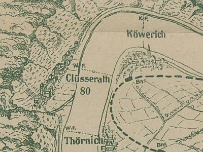 260 m
Ferries
Ehemalige Wagenfähre Clüsserath - Köwerich
No picture
280 m
Vineyard Sites
Bruderschaft
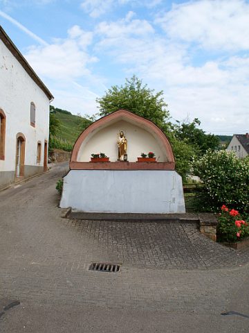 340 m
Wayside Shrine Houses
Sankt Jakob
No picture
350 m
Farmhouses and Farm Buildings
Ehemaliger Echternacher Hof
No picture
380 m
Vineyard Sites
Bruderschaft
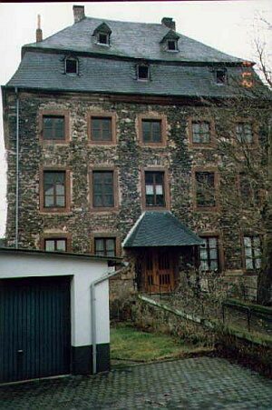 380 m
Manorial Residences and Estate Buildings
Ehemalige kurtrierische Wasserburg
No picture
410 m
Wayside Shrines and Stations of the Cross
Michelskreuz
No picture
420 m
Field Names