Town Houses and Commercial Buildings · Baroque / Rococo
Ehemalige Wohnhäuser Barbara-Ufer


© GeoBasis-DE / LVermGeoRP, dl-de/by-2-0
There is no picture of this object yet. Do you have a photo that you would like to make available to the Kulturdatenbank? Submit a picture
Description
This description is only available in German.
Translate with Google opens this page in Google Translate (external service)
Mehrere Häuser aus der Barock- und klassizistischen Zeit, zum Teil mit älterem Kern. Abbruch aus verschiedenen Gründen. [1]
Classification
- Subject area
- Archaeological Monuments
- Category
- Residential and Farm Buildings
- Object type
- Town Houses and Commercial Buildings
- Date
- Circa 1700 bis circa 1780
- Period
- Baroque / Rococo
Location
- District
- City of Trier
- Collective municipality
- Verbandsfreie Gemeinde Trier
- Town
- Trier
- Locality / location
- Trier-Süd
- Street
- Sankt-Barbara-Ufer
- Field name
- Ortslage
- Coordinates
- WGS 84: 49.748930, 6.628484 (Position: presumed) WGS 84: 49° 44′ 56.1″ N, 6° 37′ 42.5″ E UTM 32 (ETRS89): E 329165 · N 5513415
Sources
Data sources
- [1] Helmut Lutz: Verzeichnis der seit 1930 untergegangenen denkmalwerten Bauanlagen. Denkmalpflege in Trier (1975) Hrsg.: Städtische Denkmalpflege
On the internet
Last edited: 17 May 2000 Object ID: 2280
https://kulturdb.de/en/objekt/2280-trier-sued-ehemalige-wohnhaeuser-barbara-ufer
Nearby
The nearest objects
 30 m
Monastic Complexes
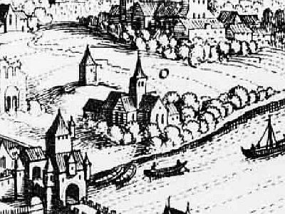
Ehemaliges Kloster Sankt Barbara
 40 m
Settlements
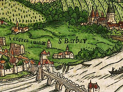
Historische Siedlung Barbeln
Town Houses and Commercial Buildings
Wohnhaus
Town Houses and Commercial Buildings
Wohnhaus
Town Houses and Commercial Buildings
Wohnhaus
Town Houses and Commercial Buildings
Wohnhaus
Town Fortifications
Ehemaliger Turm der römischen Stadtmauer
Town Houses and Commercial Buildings