Wayside Shrines and Stations of the Cross · Renaissance
Wegekreuz
- Listed monument


© GeoBasis-DE / LVermGeoRP, dl-de/by-2-0
There is no picture of this object yet. Do you have a photo that you would like to make available to the Kulturdatenbank? Submit a picture
Description
This description is only available in German.
Translate with Google opens this page in Google Translate (external service)
Balkenkreuz, Basalt, bezeichnet 1693. [1]
Classification
- Subject area
- Architectural and Art Monuments
- Category
- Religious Buildings
- Object type
- Wayside Shrines and Stations of the Cross
- Date
- 1693
- Period
- Renaissance
Location
- District
- Vulkaneifel
- Collective municipality
- Gerolstein
- Municipality
- Kerpen (Eifel)
- Locality / location
- Kerpen
- Street
- Ecke Niedereher Straße / Irrweg
- Field name
- Ortslage
- Coordinates
- WGS 84: 50.309764, 6.730771 (Position: exact) WGS 84: 50° 18′ 35.2″ N, 6° 43′ 50.8″ E UTM 32 (ETRS89): E 338426 · N 5575535
Sources
Data sources
- [1] Denkmalliste der Generaldirektion Kulturelles Erbe, Rheinland-Pfalz; 2010.
On the internet
Last edited: 8 Mar 2011 Object ID: 22922
https://kulturdb.de/en/objekt/22922-kerpen-eifel-wegekreuz
Nearby
The nearest objects
Farmhouses and Farm Buildings
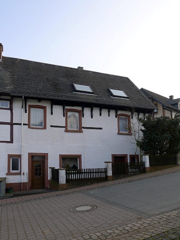
Ehemaliges Quereinhaus Bachstraße 16/18
 60 m
Coats of Arms
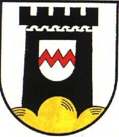
Wappen der Gemeinde Kerpen
Farmhouses and Farm Buildings
Streckhof
Farmhouses and Farm Buildings
Ehemaliges Quereinhaus
Farmhouses and Farm Buildings
Wohnhaus
 130 m
Courthouses
Ehemaliges Gerichtshaus Fritz-von-Wille-Straße 12
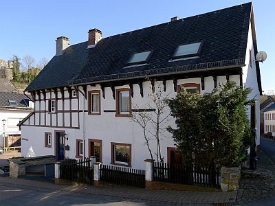 130 m
Execution Sites
Ehemaliges Gerichtshaus - Pranger
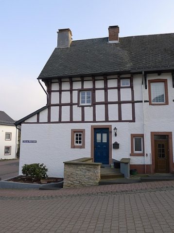 130 m
Courthouses