Wayside Shrines and Stations of the Cross · 20th Century
Unglückskreuz


Description
This description is only available in German.
Translate with Google opens this page in Google Translate (external service)
Classification
- Subject area
- Architectural and Art Monuments
- Category
- Religious Buildings
- Object type
- Wayside Shrines and Stations of the Cross
- Date
- 1954
- Period
- 20th Century
Location
- District
- Vulkaneifel
- Municipality
- Kelberg
- Locality / location
- Hünerbach
- Field name
- An der Donnerschlagsheck
- Coordinates
- WGS 84: 50.293989, 6.936398 (Position: exact) WGS 84: 50° 17′ 38.4″ N, 6° 56′ 11.0″ E UTM 32 (ETRS89): E 353017 · N 5573355
Sources
Data sources
- [1] Franz-Josef Dosio, Wierschem, 2016.
- [2] Peter Bauer, Mannebach (Vulkaneifel), 2017.
On the internet
Picture credits
Last edited: 14 Mar 2017 Object ID: 22937
https://kulturdb.de/en/objekt/22937-kelberg-unglueckskreuz
Nearby
The nearest objects
No picture
420 m
Field Names
Auf dem Ruppenpesch
No picture
450 m
Extraction and Processing of Raw Materials
Ehemalige Schwerspatgrube
No picture
490 m
Chapels
Ehemalige Maria-Magdalena-Kapelle
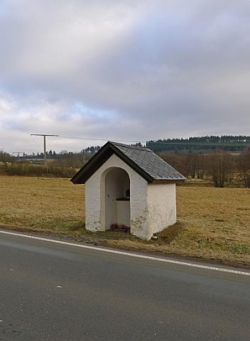 510 m
Wayside Shrine Houses
Heiligenhäuschen
No picture
600 m
Field Names
In der Kirchenwies
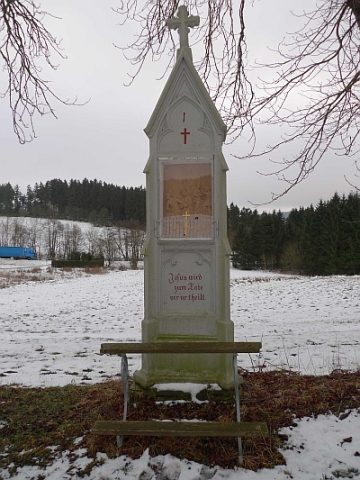 690 m
Wayside Shrines and Stations of the Cross
Kreuzweg zur Wallfahrtskapelle - 1. Station
No picture
700 m
Field Names
In den Hünerbacher Aspeln
No picture
770 m
Field Names