Wayside Shrine Houses · Undated
Heiligenhäuschen im Holzbüsch


Classification
- Subject area
- Architectural and Art Monuments
- Category
- Religious Buildings
- Object type
- Wayside Shrine Houses
- Date
- Undatiert
- Period
- Undated
Location
- District
- Vulkaneifel
- Collective municipality
- Kelberg
- Municipality
- Lirstal
- Field name
- Holzbüsch
- Coordinates
- WGS 84: 50.265100, 7.027908 (Position: exact) WGS 84: 50° 15′ 54.4″ N, 7° 01′ 40.5″ E UTM 32 (ETRS89): E 359450 · N 5569967
Sources
Data sources
- [1] Franz-Josef Dosio, Wierschem, 2023.
On the internet
vgv-kelberg.de/vg_kelberg/Gemeinden/Lirstal
Picture credits
Last edited: 23 Dec 2023 Object ID: 22952
https://kulturdb.de/en/objekt/22952-lirstal-heiligenhaeuschen-im-holzbuesch
Nearby
The nearest objects
No picture
160 m
Field Names
Leimkaul
No picture
260 m
Field Names
Auf der Leimkaul
No picture
580 m
Field Names
An der Heerstraße
No picture
590 m
Field Names
Kirchenwald
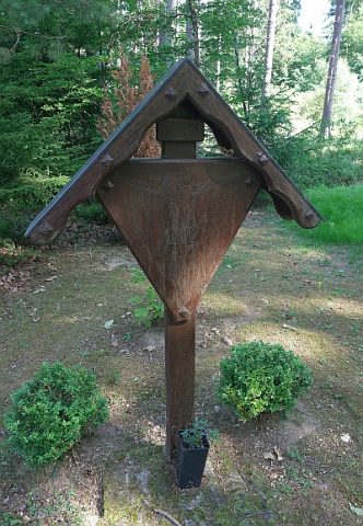 610 m
Wayside Shrines and Stations of the Cross
Waldkapellchen - Kreuz
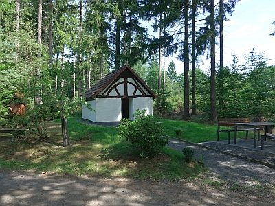 610 m
Post Offices
Waldkapellchen - Ehemalige Pferdewechselstation
No picture
650 m
Field Names
Ober der Heerstraße
No picture
740 m
Field Names