Wayside Shrine Houses · Undated
Heiligenhäuschen


Classification
- Subject area
- Architectural and Art Monuments
- Category
- Religious Buildings
- Object type
- Wayside Shrine Houses
- Date
- Undatiert
- Period
- Undated
Location
- District
- Vulkaneifel
- Collective municipality
- Daun
- Municipality
- Mückeln
- Field name
- Brandenbüsch
- Coordinates
- WGS 84: 50.092989, 6.918788 (Position: exact) WGS 84: 50° 05′ 34.8″ N, 6° 55′ 07.6″ E UTM 32 (ETRS89): E 351139 · N 5551044
Sources
Data sources
- © Helmut Bauer, Trier, 2015.
On the internet
Picture credits
Last edited: 26 Apr 2015 Object ID: 22988
https://kulturdb.de/en/objekt/22988-mueckeln-heiligenhaeuschen
Nearby
The nearest objects
 10 m
Beeches
Schafbaum
No picture
210 m
Find Sites
Fundstelle
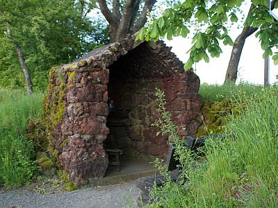 470 m
Marian Grottoes
Mariengrotte
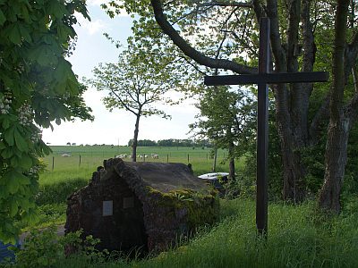 470 m
Wayside Shrines and Stations of the Cross
Mariengrotte - Kreuz
 760 m
Coats of Arms
Wappen der Gemeinde Mückeln
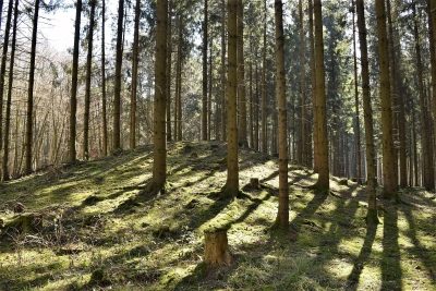 810 m
Burial Mounds
Hügelgräber an der Kreisstraße 25 (7 von 7)
830 m
Burial Mounds
Hügelgräber an der Kreisstraße 25 (6 von 7)
840 m
Burial Mounds