Wayside Shrines and Stations of the Cross · 20th Century
Gedenkkreuz am Weinberg


Classification
- Subject area
- Architectural and Art Monuments
- Category
- Religious Buildings
- Object type
- Wayside Shrines and Stations of the Cross
- Date
- Nach 1945
- Period
- 20th Century
Location
- District
- Vulkaneifel
- Collective municipality
- Gerolstein
- Municipality
- Kerpen (Eifel)
- Locality / location
- Kerpen
- Field name
- Weinberg
- Coordinates
- WGS 84: 50.314913, 6.712834 (Position: exact) WGS 84: 50° 18′ 53.7″ N, 6° 42′ 46.2″ E UTM 32 (ETRS89): E 337167 · N 5576147
Sources
Data sources
- [1] Uwe Widera, 54550 Daun, 2011.
On the internet
Picture credits
Last edited: 14 Mar 2011 Object ID: 22994
https://kulturdb.de/en/objekt/22994-kerpen-eifel-gedenkkreuz-am-weinberg
Nearby
The nearest objects
No picture
70 m
Settlements
Siedlung der Hunsrück-Eifel-Kultur
No picture
90 m
Vineyard Sites
Hinter Weinberg
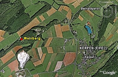 110 m
Hilltop Castles
Abschnittswall auf dem Weinberg (1)
No picture
110 m
Vineyard Sites
Weinberg
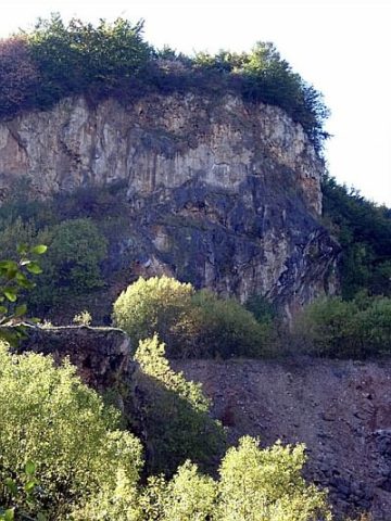 120 m
Extraction and Processing of Raw Materials
Steinbruch Weinberg
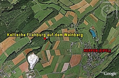 150 m
Ring Forts
Keltische Fliehburg auf dem Weinberg
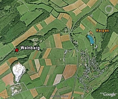 240 m
Ridge-Edge Castles
Abschnittswall auf dem Weinberg (2)
No picture
280 m
Vineyard Sites