Farmhouses and Farm Buildings · Historicism / Art Nouveau
Ehemaliger Pfarrhof
- Listed monument


Description
This description is only available in German.
Translate with Google opens this page in Google Translate (external service)
Basaltsteinbau, wohl aus der zweiten Hälfte des 19. Jahrhunderts, Wirtschaftsgebäude, Hoffläche. [1]
Classification
- Subject area
- Architectural and Art Monuments
- Category
- Residential and Farm Buildings
- Object type
- Farmhouses and Farm Buildings
- Date
- Zweite Hälfte des 19. Jahrhunderts
Location
- District
- Vulkaneifel
- Town
- Gerolstein
- Locality / location
- Roth
- Street
- An der Kirche 12
- Field name
- Ortslage
- Coordinates
- WGS 84: 50.252540, 6.620596 (Position: exact) WGS 84: 50° 15′ 09.1″ N, 6° 37′ 14.1″ E UTM 32 (ETRS89): E 330379 · N 5569419
Sources
Data sources
- [1] Denkmalliste der Generaldirektion Kulturelles Erbe, Rheinland-Pfalz; 2010.
On the internet
gerolstein.org/gerolstein-stadtteile/roth.html
Picture credits
Last edited: 22 Aug 2007 Object ID: 23054
https://kulturdb.de/en/objekt/23054-gerolstein-ehemaliger-pfarrhof
Nearby
The nearest objects
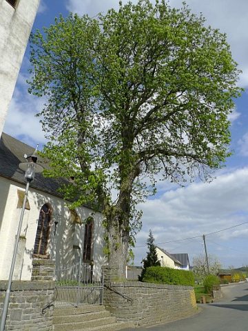 20 m
Chestnut Trees
Kastanie bei Sankt Antonius
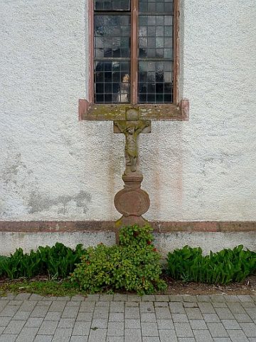 30 m
Wayside Shrines and Stations of the Cross
Sankt Antonius - Schaftkreuz
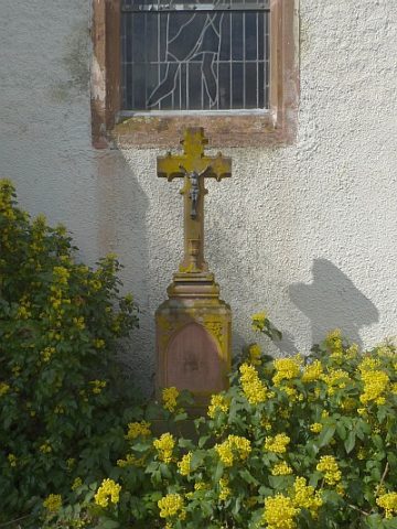 30 m
Burial Sites
Sankt Antonius - Pfarrerkreuz
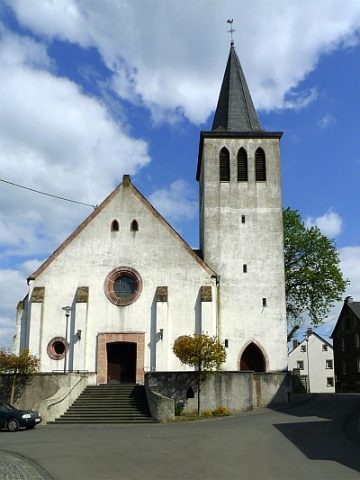 30 m
Catholic Churches
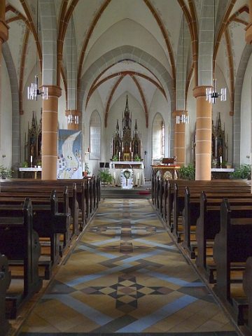
Sankt Antonius
 30 m
Catholic Churches
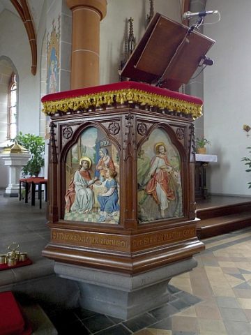
Sankt Antonius - Ambo
 30 m
Altars
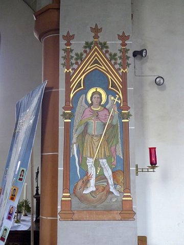
Sankt Antonius - Altar
 30 m
Catholic Churches
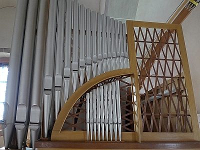
Sankt Antonius - Ausstattung
 30 m
Organs