Rocks · 20th Century
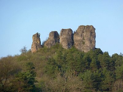
Gerolsteiner Dolomiten - Auberg (2)
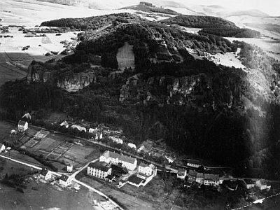
NSG Gerolsteiner Dolomiten - Historische Aufnahme
- Listed monument


Description
This description is only available in German.
Translate with Google opens this page in Google Translate (external service)
Naturschutzgebiet Gerolsteiner Dolomiten (Auberg, Munterlay, Hustlay, Papenkaule und Juddenkirchhof).
Classification
- Subject area
- Natural Features
- Category
- Rocks
- Date
- 1990 [Unterschutzstellung]
- Period
- 20th Century
Location
- District
- Vulkaneifel
- Town
- Gerolstein
- Field name
- Auf Auberg
- Coordinates
- WGS 84: 50.226541, 6.648472 (Position: exact) WGS 84: 50° 13′ 35.5″ N, 6° 38′ 54.5″ E UTM 32 (ETRS89): E 332275 · N 5566465
Sources
On the internet
Picture credits
- Picture 1: Fredy Lange (undatiert). Sammlung Wilma Herzog, Gerolstein, 2012. © Edith Lange-Löckenhoff.
- Picture 2: Fredy Lange (undatiert). Sammlung Wilma Herzog, Gerolstein, 2015. © Edith Lange-Löckenhoff.
- Picture 3: Fredy Lange (undatiert). Sammlung Wilma Herzog, Gerolstein, 2015. © Edith Lange-Löckenhoff.
- Picture 4: Fredy Lange (undatiert). Sammlung Wilma Herzog, Gerolstein, 2015. © Edith Lange-Löckenhoff.
- Picture 5: © Wilma Herzog, Gerolstein, 2013.
- Picture 6: © Wilma Herzog, Gerolstein, 2013.
Last edited: 18 Oct 2015 Object ID: 23095
https://kulturdb.de/en/objekt/23095-gerolstein-gerolsteiner-dolomiten-auberg-2
Nearby
The nearest objects
Viewpoints
Aussichtspunkt am Auberg
 20 m
Rocks
Gerolsteiner Dolomiten - Auberg (1)
Settlements
Siedlungsstelle
Field Names
In Ringsdell
 260 m
Engineering Structures and Industrial Sites
Ehemalige Drahtwarenfabrik Oos
 260 m
Engineering Structures and Industrial Sites
Ehemalige Drahtwarenfabrik Oos - Historische Fotos
Lime Kilns
Ehemaliger Kalkofen
Catholic Churches